Catalog Archive
Auction 158, Lot 195

"Peru", Pinkerton, John

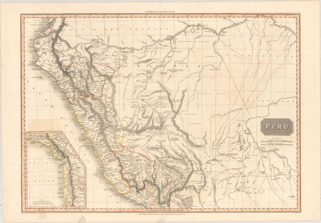
Subject: Peru, Brazil

Period: 1810 (dated)

Publication: Pinkerton's Modern Atlas

Color: Hand Color

Size:
27.8 x 19.9 inches
70.6 x 50.5 cm
Download High Resolution Image
(or just click on image to launch the Zoom viewer)

This interesting map of Peru features nice topographical detail. Political division, place names, rivers, lakes, mountains, and more are shown in Peru. The portion of Brazil shown is labeled Portuguese Possessions. Numerous tribes are named, some with brief notes explaining their customs or relationship with the Spanish. A large swath of Brazil is identified as Unknown Parts. The course of the Beni River is traced with a dotted line with a note reading, "Course of the River Beni according to la Cruz & Amaramayu by Danville." An inset at bottom left depicts the stretch of coast to the south of Lake Titicaca, including portions of present-day Argentina, Bolivia, and Chile. Drawn by L. Hebert and engraved by Neele. Published by Cadell & Davies and Longman, Hurst, Rees, & Orme.

References:

Condition: B+

There is light offsetting, minor soiling just entering the neatline at bottom left, and tiny centerfold separations in the top and bottom blank margins.

Estimate: $120 - $150

Sold for: $70

Closed on 6/22/2016

Archived