Catalog Archive
Auction 158, Lot 175

"Jamaica", Thomson, John
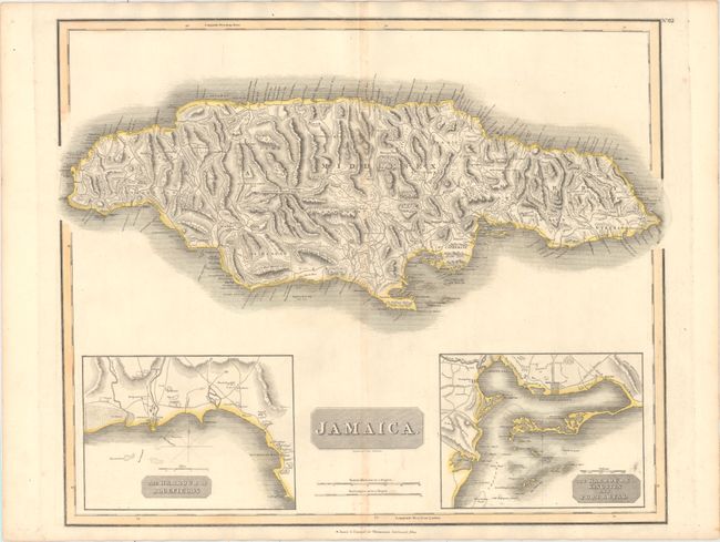
Subject: Jamaica

Period: 1821 (circa)

Publication: New General Atlas

Color: Hand Color

Size:
23.8 x 19.8 inches
60.5 x 50.3 cm
Download High Resolution Image
(or just click on image to launch the Zoom viewer)

This great large chart of the island of Jamaica features two insets, The Harbour of Bluefields and The Harbours of Kingston and Port Royal. The map is based on Jefferys' map of 1775. It is filled with detail of roads and towns, including Trelawny Town and Accompong Town, both important in Jamaica's Maroon history. Thomson's publishing business prospered between 1813 and 1869. His maps are noted for their accuracy, strong impression and fine engraving. Engraved by T. Clerk.

References: Kapp (MCC-42) #145.

Condition: B+

Original outline color on paper with an "A. Cowan 1820" watermark. Light toning along the centerfold and a few spots.

Estimate: $200 - $240

Unsold

Closed on 6/22/2016

Archived