Catalog Archive
Auction 158, Lot 103

NO RESERVE

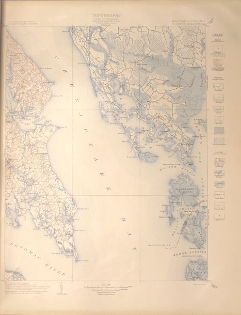
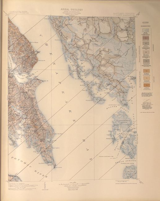
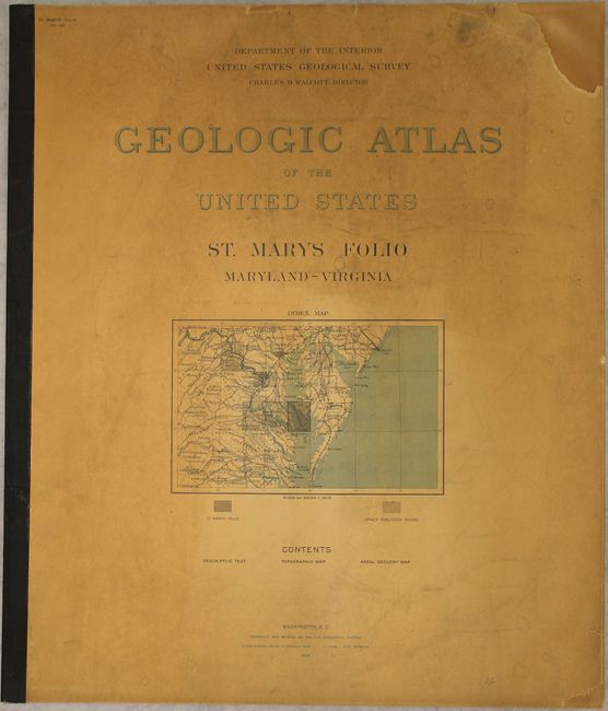
"Geologic Atlas of the United States - St. Marys Folio Maryland-Virginia", U.S. Geological Survey (USGS)

Subject: Maryland, Virginia

Period: 1906 (published)

Publication:

Color: Printed Color

Size:
18.6 x 21.8 inches
47.2 x 55.4 cm
Download High Resolution Image
(or just click on image to launch the Zoom viewer)

This folio covers the lower Chesapeake Bay region, and was part of the geological survey's project to make a geologic atlas of the United States. Of particular interest is the topographical "Maryland-Virginia St. Mary's Quadrangle" on the lower Chesapeake Bay as far south as Smith Island and features contour lines, drainage and development. A second map covering the same area shows geological features including marsh, sand, and various sedimentary rocks. 9 pages of text, 2, maps, list of other geologic folios on back cover. Produced under the direction of Charles Walcott. Elephant folio.

References:

Condition: A

Condition code is for the two maps which are clean and bright with one tiny edge tear on each sheet confined to the right blank margin. Front cover and first sheet of text is moderately toned, with chips in the right top and bottom corners of the front cover.

Estimate: $50 - $70

Sold for: $22

Closed on 6/22/2016

Archived