Catalog Archive
Auction 157, Lot 97

"A New and Accurate Map of North America, Laid Down According to the Latest, and Most Approved Observations, and Discoveries", Hinton, John

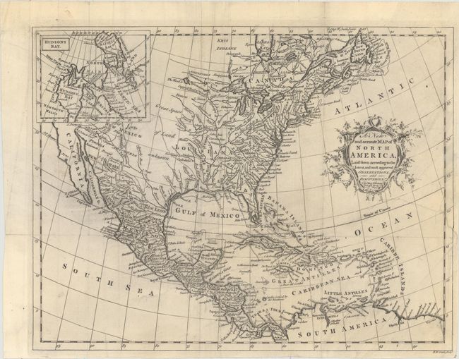
Subject: North America

Period: 1763 (published)

Publication: Universal Magazine

Color: Black & White

Size:
13.4 x 10.3 inches
34 x 26.2 cm
Download High Resolution Image
(or just click on image to launch the Zoom viewer)

This handsome map of colonial North America was published in the March 1763 issue of Universal Magazine. The colonies and key towns and cities are identified along the East Coast, extending to the northwest; Maryland, for instance, stretches all the way to Lake Erie. The Suppos'd Head of Missasipi appears west of the Great Lakes. In between the vast Louisiana and New Mexico territories is an area labeled Great Space of Land Unknown. Santa Fe is located in the West, and Baja California is depicted. The northwestern portion of the continent is obscured by an inset of Hudson's Bay. Engraved by Richard William Seale.

References: Jolly #UNIV-110; Sellers & Van Ee #108.

Condition: B+

A dark impression on watermarked paper with an edge tear at right that extends 3.5" into the image that has been closed on verso with archival material. A few tiny fold separations have also been archivally repaired.

Estimate: $350 - $425

Unsold

Closed on 5/4/2016

Archived