Catalog Archive
Auction 157, Lot 750

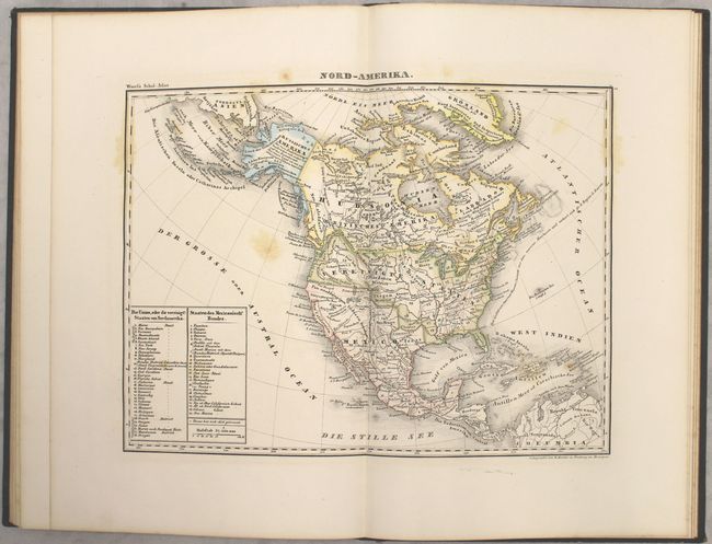
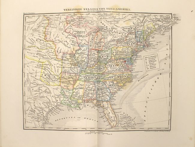
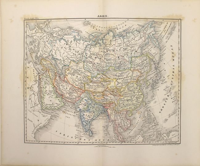
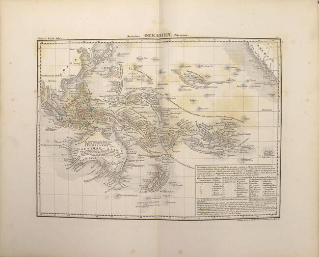
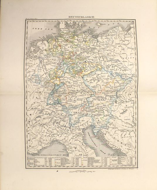
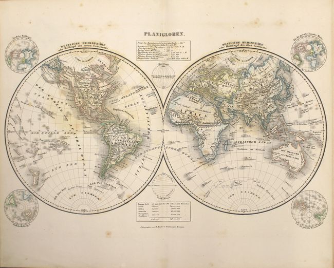
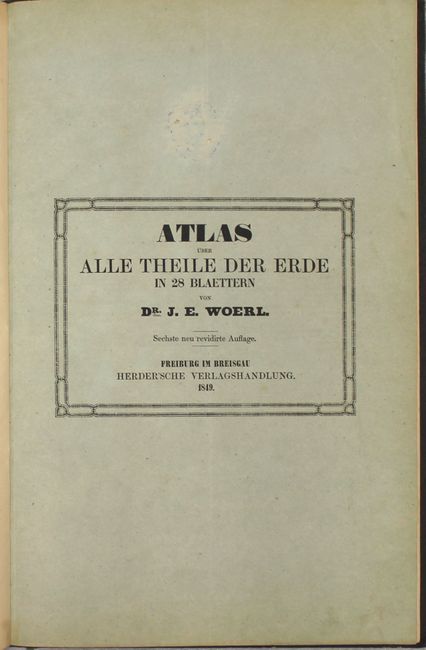
"Atlas uber Alle Theile de Erde in 28 Blaettern ", Woerl, Dr. J.E.

Subject: Atlases

Period: 1849 (published)

Publication:

Color: Hand Color

Size:
8.6 x 13 inches
21.8 x 33 cm
Download High Resolution Image
(or just click on image to launch the Zoom viewer)

This complete example contains 28 maps with the typical German proficiency and craftsmanship. Each map is individually tipped in with blank versos. The maps consist of the world, Europe (19 - including 5 of Germany), the Americas (4), Africa, Asia, Australia and the Holy Land. Three maps relate to North America including Nord-Amerika, Die Vereinigten Staaten von Nord-Amerika, and Central-Amerika und Westindien. Despite the publication date of 1848, the Republic of Texas is shown on both the North America and United States maps. The North America map identifies 27 states and 6 western territories, with the U.S. border extending well into British Columbia.

Small folio, hardbound in quarter leather over brown pebbled cloth with gilt title on spine.

References:

Condition: B

All but one of the maps have original outline color and range from good to near fine. There is scattered foxing throughout, which is more prominent in the first few maps (world, Europe 1 and Europe 2). Covers and spine are lightly rubbed with hinges starting.

Estimate: $700 - $850

Unsold

Closed on 5/4/2016

Archived