Catalog Archive
Auction 157, Lot 724

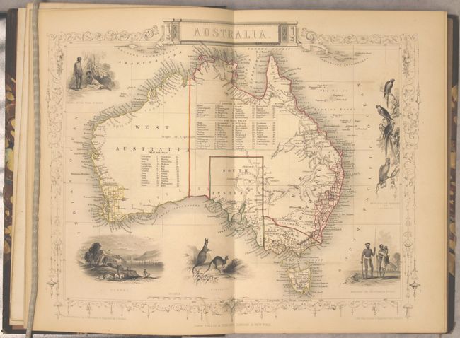
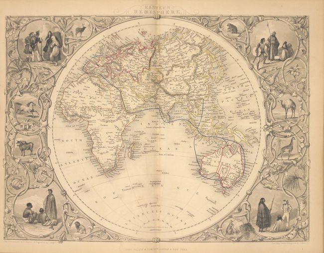
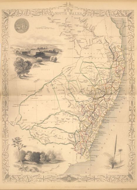
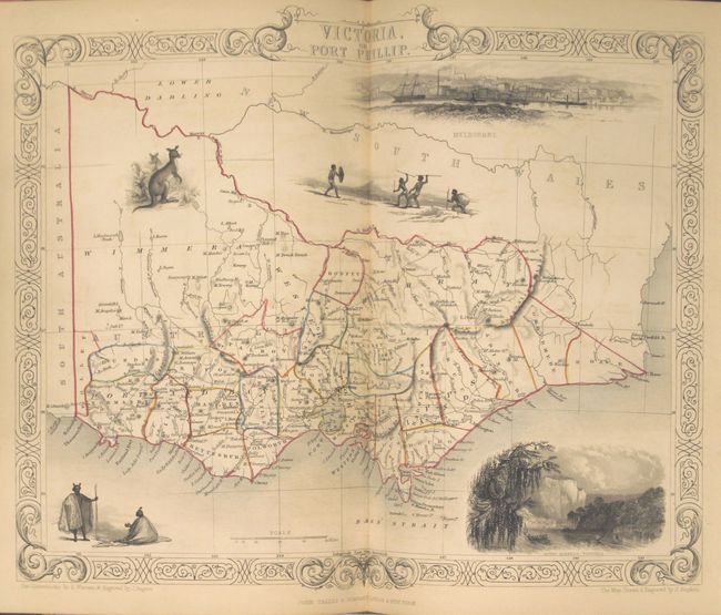
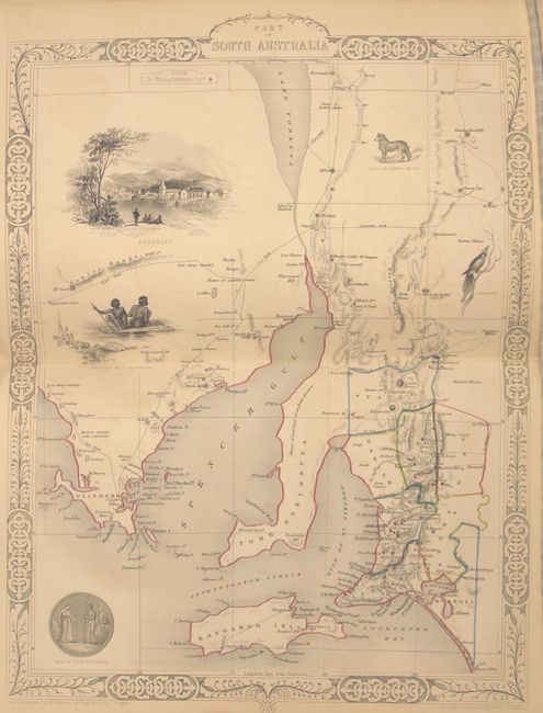
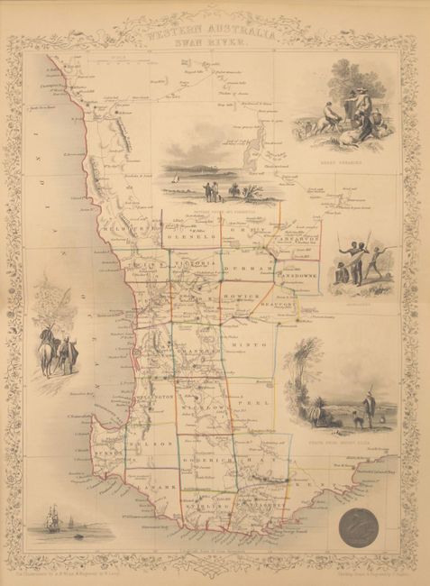
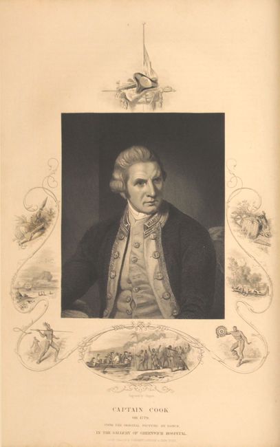
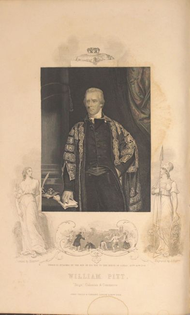
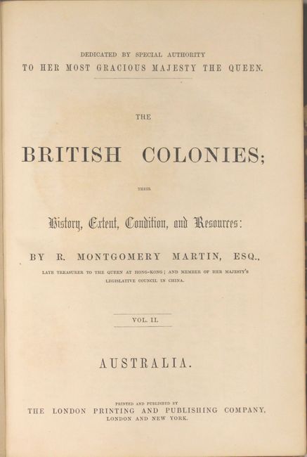
"The British Colonies; Their History, Extent, Condition, and Resources Vol. II. Australia", Martin, Montgomery

Subject: Australia

Period: 1855 (circa)

Publication:

Color: Hand Color

Size:
7.8 x 11.1 inches
19.8 x 28.2 cm
Download High Resolution Image
(or just click on image to launch the Zoom viewer)

The maps from The Illustrated Atlas were first published in serial form to a target audience that led insular lives due to the expense and hardship of travel. All that changed as the progress of the nineteenth century brought swift and dramatic changes in public awareness of far away places. Tallis' maps no doubt played an important role in this dramatic awakening. These maps not only provided up-to-date geographical knowledge, but also used vignette views within the map's design to show the native people and their occupations, cities and points of interest. The maps hark back to a cartographic tradition from the Dutch mapmakers of the seventeenth century with finely engraved decorative borders. The maps were drawn and engraved by John Rapkin with views drawn and engraved by a number of prominent artists. The maps were issued as a complete volume from 1851 until about 1865. Some of the maps were also published in other history books published by Tallis including British Colonies and, without the vignettes, in geographical dictionaries and encyclopedias until about 1880.

This is volume two from Martin Montgomery's six-volume set of the British Colonies describing the exploration, settlements, topography, gold discovery, government and commerce of Australia. Included in the volume are six desirable maps of the region by John Tallis including: Australia; Eastern Hemisphere; New South Wales; Victoria, or Port Phillip; South Australia; and Western Australia, or Swan River. The maps are beautifully engraved by John Rapkin, each with several interesting vignettes. In addition to the maps, the volume features portraits of Captain Cook and William Pitt. 384 pp. Quarto, hardbound in quarter leather and tips over marbled boards with gilt title and raised bands on spine.

References:

Condition: A

The maps, in original outline color, are near fine with pleasant light toning. Text and plates are also near fine with minor staining in the portrait of Pitt. Covers and spine have moderate wear and the edges are bumped. A previous owner's bookplate is pasted to the inside front cover.

Estimate: $700 - $900

Sold for: $375

Closed on 5/4/2016

Archived