Catalog Archive
Auction 157, Lot 668

Rare Chart with Singapore and Malay Peninsula

"East India Archipelago [Western Route to China. Chart No. 2]", Imray, James

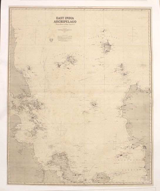
Subject: Indonesia, South China Sea

Period: 1871 (dated)

Publication:

Color: Hand Color

Size:
40.1 x 49.3 inches
101.9 x 125.2 cm
Download High Resolution Image
(or just click on image to launch the Zoom viewer)

This impressive chart on two joined sheets spans from the southernmost tip of continental Asia and eastern Sumatra to the westernmost portion of Borneo, centering on the Tudjuh Archipelago in the South China Sea. Numerous straits are depicted, including Singapore, Bangka, Karimata, and Gaspar. The chart includes hundreds of soundings, reefs, rocks, and shoals, as well as navigational routes and currents. There is also good information along the coasts of towns, capes, points, rivers, and mountain peaks. Lighthouses are marked with red, as is typical on Imray charts. One of a series of six charts showing the western route to China published by James Imray & Sons, in London.

References:

Condition: B+

Backed on a heavy linen sheet with light soiling, a number of pencil notations in the image, and several archivally repaired tears.

Estimate: $950 - $1,200

Unsold

Closed on 5/4/2016

Archived