Catalog Archive
Auction 157, Lot 644

"Tartaria", Hondius, Jodocus

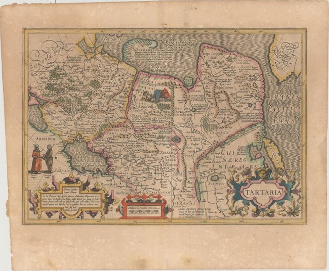
Subject: Northern Asia

Period: 1619 (published)

Publication: Gerardi Mercatoris - Atlas sive Cosmographicae

Color: Hand Color

Size:
19.6 x 13.5 inches
49.8 x 34.3 cm
Download High Resolution Image
(or just click on image to launch the Zoom viewer)

This splendid map covers all of northern Asia from Moscow to the Anian Fretum and Americae Pars. Korea is shown as an island. Illustrations include the Great Wall in China, rivers, villages, mountains etc. The newly discovered northern coastline of Nova Zembla is shown with a notation concerning the Dutch expedition led by Willem Barents in 1594-96. An interesting notation in Siberia, Ung quae Gog and Sumongul quae Mogog, refers to the mythological lands of Gog and Magog. These lands, noted in the Bible as being situated in the remotest parts of the earth, were originally depicted on maps just north of Israel and gradually moved across Asia as more discoveries were made. The map is beautifully decorated with costumed people, a camp scene and three large strapwork cartouches. It is a fabulous example of Hondius' bold engraving style. French text on verso.

References: Van der Krogt (Vol. I) #8050:1A.

Condition: B+

A sharp impression with full original color, light toning, professional repairs to several separations along the centerfold, and scattered foxing in the blank margins. There is a short tear in the right blank margin.

Estimate: $700 - $850

Sold for: $400

Closed on 5/4/2016

Archived