Catalog Archive
Auction 157, Lot 621

"Regnum Iudeorum in Filios Herodis Magni per Tetrarchias Divisum ad Tempora Christi Domini Tabula...", de la Rue, Philippe
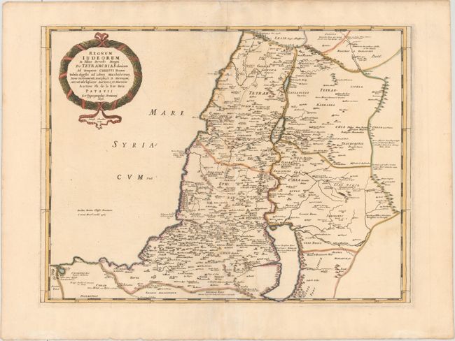
Subject: Holy Land

Period: 1696 (dated)

Publication: Theatre du Monde...

Color: Hand Color

Size:
21.1 x 15.8 inches
53.6 x 40.1 cm
Download High Resolution Image
(or just click on image to launch the Zoom viewer)

Handsome and uncommon map of the Kingdom of Judea with good detail throughout. It shows the extent of Palestine during the reign of the sons of Herod the Great up to Christ's time. This map is identical to La Rue's previous map published in 1651 in his La Terre Sainte en Six Cartes Geographiques, engraved by Jean Sommer, however here has been completely re-engraved by Joseph Thoaldus.

References: cf. Laor #418; cf. Pastoureau, LA RUE [4].

Condition: B+

Full original color with light toning, minor offsetting, and very light soiling.

Estimate: $200 - $230

Unsold

Closed on 5/4/2016

Archived