Catalog Archive
Auction 157, Lot 560

"[Title on Verso] Europae Tabula Decima Continet Macedoniam, Epyrum, Achaiam, Peloponesum, & Cretam Insulam", Ptolemy/Fries
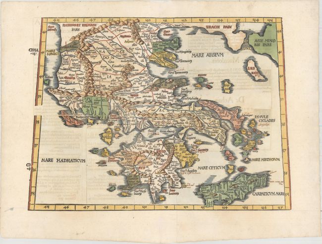
Subject: Greece

Period: 1541 (published)

Publication: Claudii Ptolemaei Alexandrini Geographicae…

Color: Hand Color

Size:
17.8 x 12.9 inches
45.2 x 32.8 cm
Download High Resolution Image
(or just click on image to launch the Zoom viewer)

Claudius Ptolemy was a mathematician, astronomer and geographer who worked in Alexandria, then a part of the Roman Empire, in the 2nd century AD. One of the most learned and influential men of his time, his theories dominated both astronomy and geography for nearly 1500 years. His writings were kept alive by Arabic scholars during the Middle Ages and reemerged in Europe during the Renaissance. The birth of printing led to wide dissemination of his great works on astronomy and geography. There were a number of editions of his Geographia beginning in 1477. These early editions contained maps based on his original writings, known as Ptolemaic maps. As geographic knowledge increased with the explorations of Columbus, Magellan, Cabot and others, maps of the New World were added, and maps of the Old World were revised. Ptolemy's Geographia continued to be revised and published by some of the most important cartographers including Martin Waldseemuller, Sebastian Munster, Giacomo Gastaldi, Jodocus Hondius, and Gerard Mercator (whose last edition was published in 1730).

A handsome Ptolemaic map of Greece, Crete and the Aegean islands. The map is filled with place names and the typical rope-like mountain ranges. This edition was printed by Gaspar Treschel and edited by Michael Villanovus (known as Servetus). Servetus was charged with heresy by John Calvin in 1553, in part due to the text in this atlas. The courts found him guilty and sentenced him to burning at the stake, atop a pyre of his own books, including this atlas.

References: Mickwitz & Miekkavaara #211-10; Zakarakis 1826.

Condition: A

A clean and bright example on paper with a bunch of grapes watermark, several old manuscript notations in the map, professionally repaired centerfold separations in top and bottom blank margins, and a repaired tear in bottom blank margin. Light text show-through.

Estimate: $800 - $950

Sold for: $425

Closed on 5/4/2016

Archived