Catalog Archive
Auction 157, Lot 546

"Imperii Russici, sive Moscoviae, Status Generalis, in ejus Regna, Ducatus, Provincias, Populosq Subjacentes Divisus, et ex Tabula Spectatmi. Domini...", Wit, Frederick de
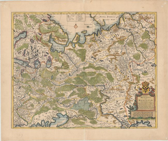
Subject: Russia

Period: 1680 (circa)

Publication:

Color: Hand Color

Size:
22 x 17.7 inches
55.9 x 45 cm
Download High Resolution Image
(or just click on image to launch the Zoom viewer)

This striking map of Russia features good topographical detail and locates many towns and cities (including Moscow and Kiev), roads, rivers, lakes, and more. Portions of larger bodies of water appear, including the Gulf of Bothnia, Gulf of Finland, and Black and Caspian seas. Novaya Zemlya (Nova Zemla) is shown at top with an incomplete coastline. A key at top identifies the type of town or city. An ornate title cartouche with two putti, a cornucopia, a coat-of-arms, and a crown decorates the bottom right corner. In it, De Wit credits Nicolaes Witsen (1641-1717), the Dutch statesman, author, shipbuilding expert, and cartographer who traveled to Moscow in 1664-65, keeping a diary and collecting artifacts. He became fascinated about Russia and obtained all information available at the time on the subject, including maps, travelogues, manuscripts, and objects.

References:

Condition: A

A nice impression on a watermarked sheet with one tiny wormhole only visible when held to light, and a few tiny fold separations that have been repaired on verso with archival materials.

Estimate: $550 - $700

Sold for: $450

Closed on 5/4/2016

Archived