Catalog Archive
Auction 157, Lot 524

"Cataloniae Principatus Descriptio Nova", Mercator/Hondius

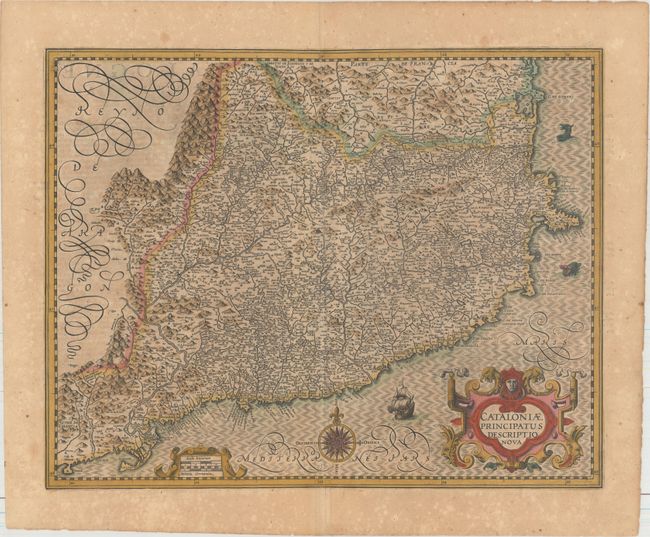
Subject: Northeastern Spain

Period: 1619 (published)

Publication: Gerardi Mercatoris - Atlas sive Cosmographicae

Color: Hand Color

Size:
19.1 x 15.2 inches
48.5 x 38.6 cm
Download High Resolution Image
(or just click on image to launch the Zoom viewer)

A handsome map of the Spanish region of Catalonia that covers the Mediterranean coastline from the French border via Barcelona to Tortosa. The map is filled with detail of topography, towns, and rivers. The map is adorned with two strapwork cartouches, a compass rose, a galleon, and two sea monsters. French text on verso.

References: Van der Krogt (Vol. I) #6250:1A.

Condition: B+

A dark impression with full original color, light toning, professional repairs to several minor separations along the centerfold, and scattered foxing in the blank margins.

Estimate: $200 - $230

Sold for: $150

Closed on 5/4/2016

Archived