Catalog Archive
Auction 157, Lot 391

"St. Christophers to Britain", Philip, George

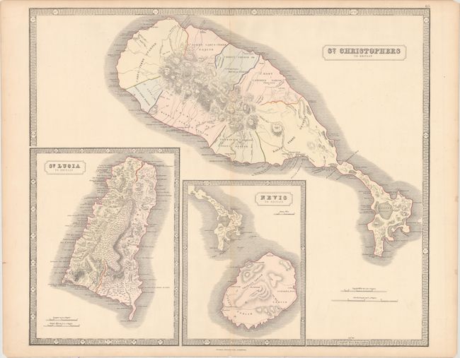
Subject: St. Kitts, St. Lucia & Nevis

Period: 1851 (circa)

Publication: The Philips New General Atlas

Color: Hand Color

Size:
23.8 x 20.1 inches
60.5 x 51.1 cm
Download High Resolution Image
(or just click on image to launch the Zoom viewer)

This large, detailed map shows St. Kitts along with two other British possessions in the Antilles in large insets - Nevis and St. Lucia. The maps provide good detail of the parishes, topography, rivers, lakes, ponds, towns, churches, forts and plantations.

References: Tooley (MCC-81) St. Kitts #68.

Condition: B+

A nice impression with full original color, light toning along the edges of the sheet and centerfold, and centerfold separations at top and bottom that have been closed on verso with archival tape. There are a few additional tiny tears and chips along the edges of the sheet, not affecting image.

Estimate: $160 - $190

Sold for: $120

Closed on 5/4/2016

Archived