Catalog Archive
Auction 157, Lot 382
"A New & Accurate Map of the Island of Jamaica. Divided into Its Principal Parishes. Drawn from Surveys, and Regulated by Astronl. Observatns.", Bowen, Emanuel
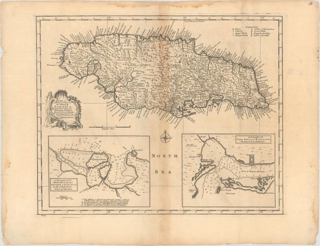
Subject: Jamaica
Period: 1747 (circa)
Publication: A Complete System of Geography...
Color: Black & White
Size:
16.5 x 13.4 inches
41.9 x 34 cm
Download High Resolution Image
(or just click on image to launch the Zoom viewer)
(or just click on image to launch the Zoom viewer)