Catalog Archive
Auction 157, Lot 376

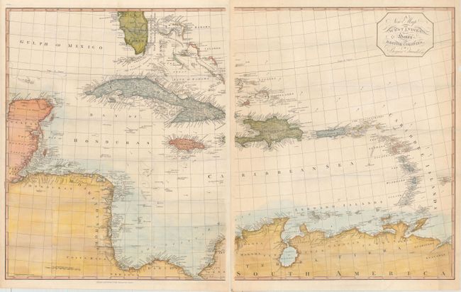
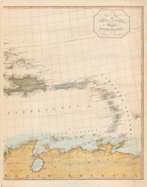
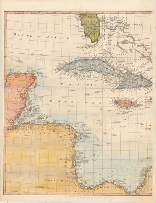
"[On 2 Sheets] A New Map of the West Indies for the History of the British Colonies", Edwards, Bryan

Subject: Caribbean

Period: 1818 (published)

Publication: The History, Civil and Commercial, of the British Colonies in the West Indies

Color: Hand Color

Size:
22.4 x 27.4 inches
56.9 x 69.6 cm
Download High Resolution Image
(or just click on image to launch the Zoom viewer)

This an unusual map made by Bryan Edwards, a Jamaican planter and politician, for his publication describing the West Indies. The map is printed on two sheets, and shows in extensive detail the area from the southern tip of Florida through the Yucatan and Honduran coasts (here called Moskitos Shore) to the northern coast of South America. Each of the islands is shown in minute detail. Published by H. Reid, No. 32 Charing Cross. Dated 1793, this edition was published in 1818. The sheets are not joined, as issued. The overall size if joined is given; each sheet is approximately 22 x 27".

References:

Condition: B+

Issued folding on thick paper with minor toning along the edges of the sheet and several short fold separations closed on verso with archival tape. A few edge tears have also been archivally repaired.

Estimate: $700 - $900

Unsold

Closed on 5/4/2016

Archived