Catalog Archive
Auction 157, Lot 375
"Dominia Anglorum in Praecipuis Insulis Americae ut sunt Insula S. Christophori Antegoa Iamaica Barbados nec non Insulae Bermudes vel Sommers…", Homann Heirs
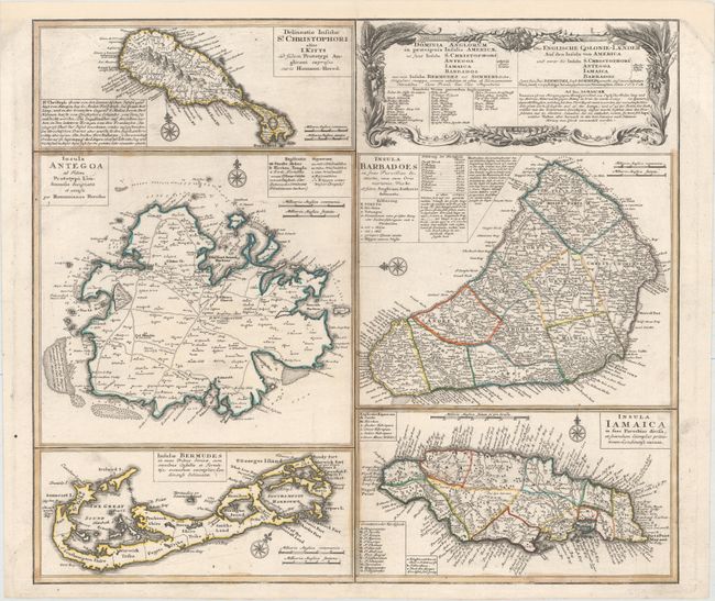
Subject: Caribbean & Bermuda
Period: 1759 (circa)
Publication: Atlas Geographicus Maior
Color: Hand Color
Size:
21.9 x 19.4 inches
55.6 x 49.3 cm
Download High Resolution Image
(or just click on image to launch the Zoom viewer)
(or just click on image to launch the Zoom viewer)