Catalog Archive
Auction 157, Lot 372

"Insulae Americanae in Oceano Septentrionali, cum Terris Adiacentibus", Jansson, Jan

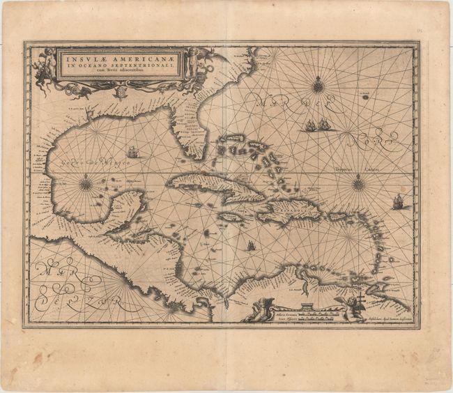
Subject: Gulf of Mexico & Caribbean

Period: 1638 (circa)

Publication: Atlas Novus

Color: Black & White

Size:
20.4 x 14.9 inches
51.8 x 37.8 cm
Download High Resolution Image
(or just click on image to launch the Zoom viewer)

This handsome map focuses on the West Indies and covers the region from the Chesapeake through the Gulf of Mexico, with Central America and the northern part of South America. Details are confined to the coastlines. Cartographically it is based on the extremely rare chart of Hessel Gerritsz from 1631 and is nearly identical to Blaeu's map of the same title. This is the first state of this map, with Latin text on verso. Lovely title and scale of miles cartouches, rhumb lines, compass roses, and sailing ships make this a very attractive map.

References: Burden #248; Van der Krogt (Vol. I) #9600.1.

Condition: B

A dark impression on a toned sheet with light scattered foxing, a few small stains, and minor show-through of text on verso.

Estimate: $1,000 - $1,300

Unsold

Closed on 5/4/2016

Archived