Catalog Archive
Auction 157, Lot 364

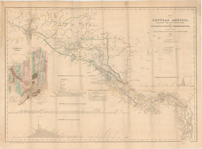
"Map of Central America Shewing the Different Lines of Atlantic & Pacific [bound in report]", U.S. Government
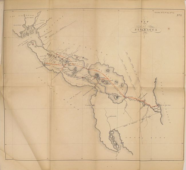
Subject: Central America

Period: 1850 (published)

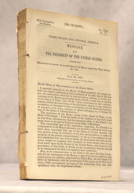
Publication: HR Doc. 75, 31st Congress, 1st Session

Color: Hand Color

Size:
32 x 22.8 inches
81.3 x 57.9 cm
Download High Resolution Image
(or just click on image to launch the Zoom viewer)

This report contains four maps that illustrate the various proposed routes for a land transit that would cut weeks off a journey from the Atlantic to the Pacific. The large map shows four possible routes: Across the Isthmus of Tehuantepec; from Port Sn. Juan del Norte to Port Realejo; between Charges (Atlantic) and Vaca de Monte (Pacific); and from the Lake Nicaragua to Port San Juna del Sur. A large and very colorful inset shows the geological composition on the Isthmus of Panama and the planned route in great detail. Also included in the report are "Map of the River of San Juan de Nicaracua" (29.5 x 10.3"), "Map of Central America Showing the Pretended Boundaries of the Mosquito Kingdom" (10.7 x 9.9"), and "Map of Nicaragua" (16.7 x 14"). The large map gained particular prominence with the discovery of gold in California and was copied in this report. Disbound, 328 pp.

References:

Condition: B+

Maps are overall very good with light toning and a few misfolds. The large map has a 0.25" binding tear closed on verso with archival tape. Disbound text is near fine.

Estimate: $240 - $300

Unsold

Closed on 5/4/2016

Archived