Catalog Archive
Auction 157, Lot 326

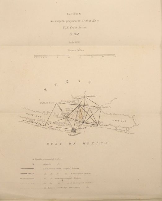
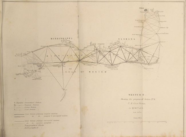
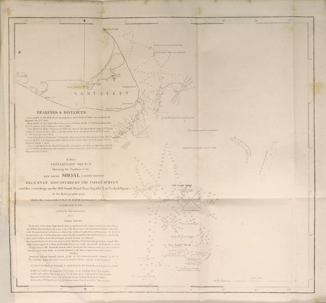
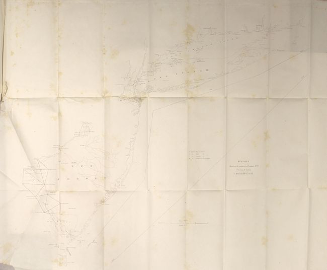
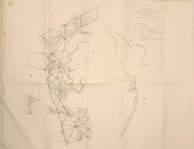
"The Report of the Superintendent of the Coast Survey…", U.S. Coast Survey

Subject: Texas

Period: 1848 (published)

Publication: HR Ex Doc No. 13, 30th Cong., 2nd Sess.

Color: Black & White

Size:
5.8 x 8.8 inches
14.7 x 22.4 cm
Download High Resolution Image
(or just click on image to launch the Zoom viewer)

This complete government report describes the survey of the Texas coast that began in 1848 under the direction of A.D. Bache, Superintendent U.S. Coast Survey. It includes the first published chart of the survey of the Texas coast "Sketch G Showing the progress in Section No. 9," centered on Galveston City and extending to include the West and East bays and north to Edward's Point. In the 1840s the U.S. coastline under the Coast Survey's charge nearly doubled due to boundary changes related to the end of the Mexican War and the resolved boundary dispute in the Pacific northwest between the U.S. and Great Britain. Surveying work began at Galveston Bay with triangulations laid out in every direction and key points determined from Galveston Bay to the mouth of the Brazos River.

In addition to Galveston, there are 15 other charts and plates featuring Cape Cod, Nantucket, Boston Bay, Sandy Hook, and Chesapeake Bay to name a few. 120 pages. Disbound. 8mo.

References: Martin & Martin, p. 147.

Condition: B+

Overall very good on bright paper with occasional light scattered foxing and misfolds as is typical for these reports.

Estimate: $120 - $150

Sold for: $70

Closed on 5/4/2016

Archived