Catalog Archive
Auction 157, Lot 280

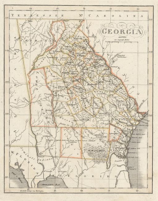
"Geographisch-Statistische und Historische Charte von Georgia", Weimar Geographisches Institut
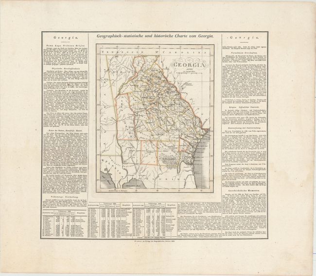
Subject: Georgia

Period: 1825 (circa)

Publication: Geographisch-Statistisch-Historischer Atlas von America…

Color: Hand Color

Size:
9.2 x 11.6 inches
23.4 x 29.5 cm
Download High Resolution Image
(or just click on image to launch the Zoom viewer)

This scarce map of Georgia comes from the German version of Carey & Lea's atlas, with text at sides and below. The atlas was issued in six editions in English, French and German between 1822 and 1827. There are mistakes in the county configuration, which is up-to-date to about 1821; for instance, Raben County is west of Hall and Habersham counties instead of north of them. The western part of the state is divided between Cherokees and the Lower Creeks. There are some forts, towns, and cities named, and the rivers and roads are delineated. A note in the southern part of the state refers to the Treaty of Fort Jackson, which ended the Creek War in 1814. Swampland appears in the southeast corner of the state, and West and East Florida are identified. On a full folio sheet that measures 24.5 x 21.5".

References:

Condition: A

A nice impression with wide margins. There are just a couple of tiny spots in the map image and large damp stains in bottom corners of the sheet that are barely visible on recto.

Estimate: $400 - $500

Unsold

Closed on 5/4/2016

Archived