Catalog Archive
Auction 157, Lot 250

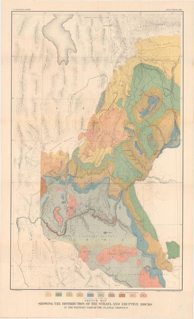
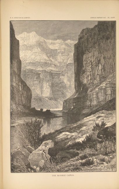
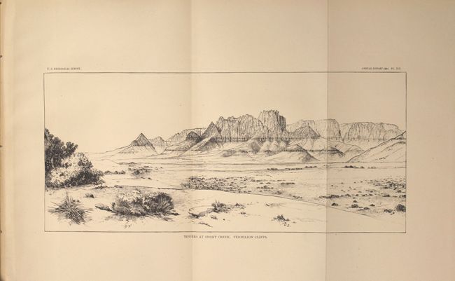
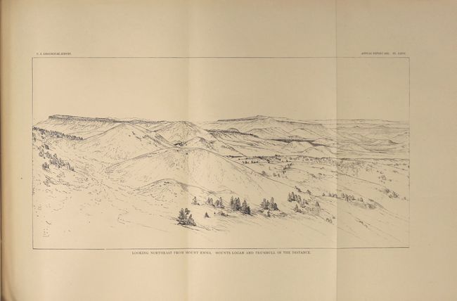
"The Physical Geology of the Grand Canon District [with] Sketch Map Showing the Distribution of the Strata and Eruptive Rocks in the Western Part of the Plateau Province", Dutton, Clarence Edward

Subject: Southwestern United States

Period: 1881 (dated)

Publication: Second Annual Report of the U.S. Geological Survey

Color: Printed Color

Size:
7.9 x 11.4 inches
20.1 x 29 cm
Download High Resolution Image
(or just click on image to launch the Zoom viewer)

This volume contains Dutton's famous report on the Grand Canyon, which was issued in the 2nd Annual Report of the U.S. Geological Survey. This classic piece of western Americana describes the rock strata and physical features of the Grand Canyon of the Colorado River. The engraved plates, many of which are folding, show panoramic landscape view of the canyon, rather than illustrating aspects of the rock strata. As such, this work is as much a scenic guidebook as it is a scientific reference. Ten of the engravings are by Thomas Moran, the noted western landscape artist, and bear his distinctive signature marks. Other splendid views are by H.H. Nichols and W.H. Holmes. A few of the titles of the folding plates include: "Plateau Scenery - the Mesa Verde"; "Looking up the Toroweap Valley. Lava Cascades"; "The Panorama from Point Sublime - Looking East (also south and west)"; the "Vermillion Cliffs at Kanab"; and "Kanab Canon."

Included in the rear pocket of the report is the very detailed and strongly colored geological map from the U.S. Geological Survey (18 x 29"). It details the region from Prescott (Ft. Whipple) and Camp Verde north through the Grand Canyon and Marble Canyon, today's Canyonlands National Park, Moab, and the southern portion of the Great Salt Lake. The map locates the Wasatch and Uintah Mountains, the Bad Land Cliffs (Book Cliffs), the San Juan River, etc. and has remarkable detail of the watershed and topography. This thematic map identifies ten geological types through color including: Tertiary, Cretaceous, Jurassic, Trias, Permian, Carboniferous, Silurian, Archaean, Trachyte Rhyolite & Andesite, and Basalt. Engraved by J.H. Renshawe. A very colorful and handsome map.

Quarto, 120 pp. with 27 plates, 15 wood engravings, and the folding map. Bound in recent marbled boards with paper backstrip.

References:

Condition: A

The folding map has bold color with very faint color offsetting and a hint of toning along a few folds. Text and plates are clean with pleasant light toning. New binding is pristine.

Estimate: $275 - $350

Sold for: $200

Closed on 5/4/2016

Archived