Catalog Archive
Auction 157, Lot 227

Map Showing Carver's Grant

"Wisconsin and Iowa", Greenleaf, Jeremiah

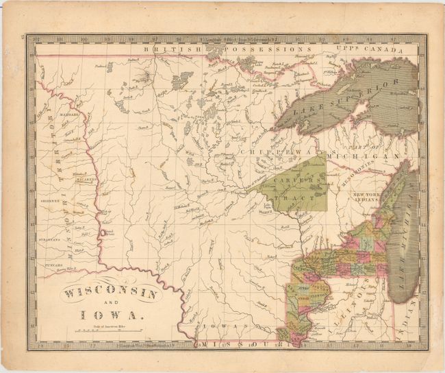
Subject: Central United States

Period: 1842 (circa)

Publication: A New Universal Atlas…

Color: Hand Color

Size:
12.9 x 10.3 inches
32.8 x 26.2 cm
Download High Resolution Image
(or just click on image to launch the Zoom viewer)

This early map of the region extends from Missouri Territory (just west of the Missouri River) to Lake Michigan, and as far south as the northern border of the state of Missouri. The map was published just a few years before Iowa was admitted as a state, and county development is confined along the Mississippi River and Lake Michigan. Outside of the developed areas, numerous Indian tribes are located, including the Chippeways, New York Indians, and Iowas, and the river system is depicted in good detail. A large, triangular Carvers Tract is shown in present-day eastern Minnesota and northwestern Wisconsin. Heirs of Jonathan Carver, who is known for his explorations in the area, contended that the Sioux Indians had signed a deed granting Carver 10,000 square miles of land. The descendants petitioned the U.S. Congress for legal rights to the land, but Congress determined in 1823 that the deed had never existed. Regardless, unscrupulous descendants and agents continued to sell portions of "Carver's Grant" for decades.

References:

Condition: B+

Original color with light scattered foxing, minor toning, and archival repairs to two tears that just enter the map border and a chip at bottom right.

Estimate: $300 - $400

Sold for: $2,100

Closed on 5/4/2016

Archived