Catalog Archive
Auction 156, Lot 833

NO RESERVE

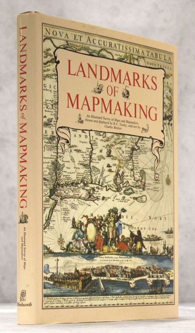
"Landmarks of Mapmaking - An Illustrated Survey of Maps and Mapmaking", Tooley & Bricker

Subject: References

Period: 1989 (published)

Publication:

Color: Printed Color

Size:
10.4 x 14.5 inches
26.4 x 36.8 cm
Download High Resolution Image
(or just click on image to launch the Zoom viewer)

Charles Bicker wrote this beautifully produced and well-illustrated cartographic reference. It covers the exploration and mapping of Europe, Asia, Africa, the Americas, and Australia. The preface is by Gerald Roe Crone, and the maps were chosen by R. V. Tooley. Comprised of 276 pp., over 350 illustrations, including maps, portraits, title pages, and reproductions from early sources, 14 color folding maps, other color illustrations, bibliography, and index. Published by Wordsworth Editions Ltd. Folio, hardbound in linen cloth, gilt title on the spine, and dust jacket.

References:

Condition: A

Covers fine and contents very good with some minor color offsetting on some of the pages. There is a hint of soiling to the dust jacket.

Estimate: $50 - $70

Sold for: $75

Closed on 2/17/2016

Archived