Catalog Archive
Auction 156, Lot 811

NO RESERVE

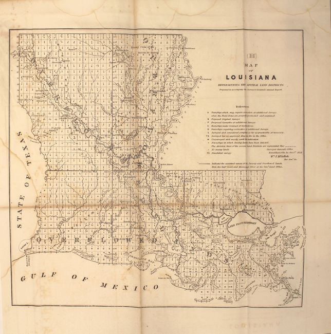
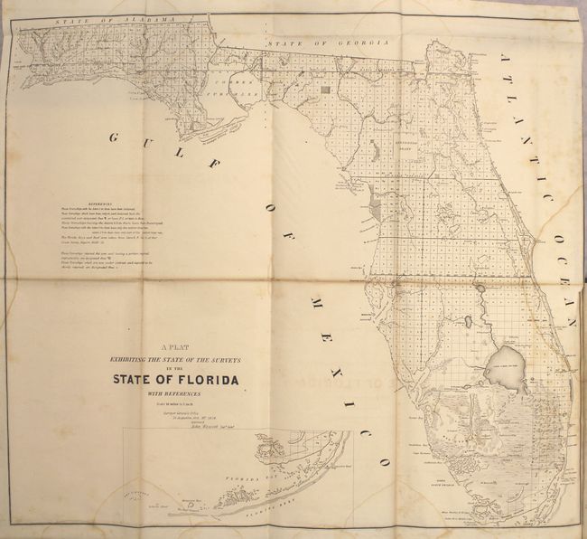
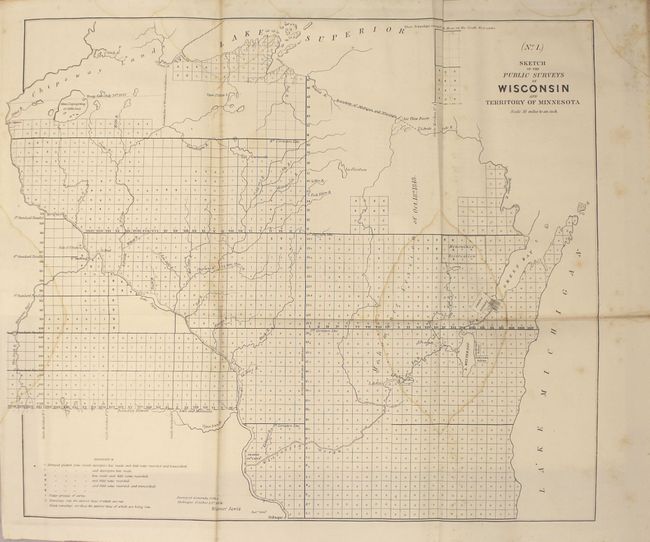
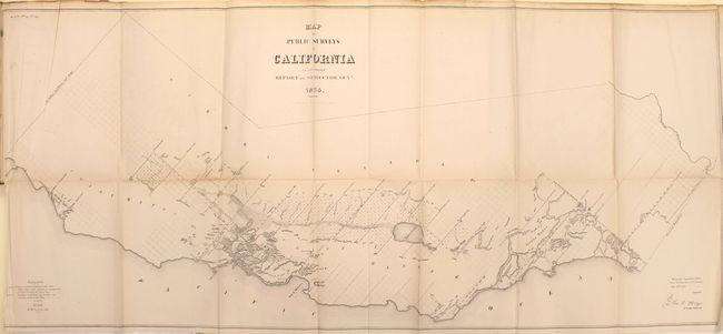
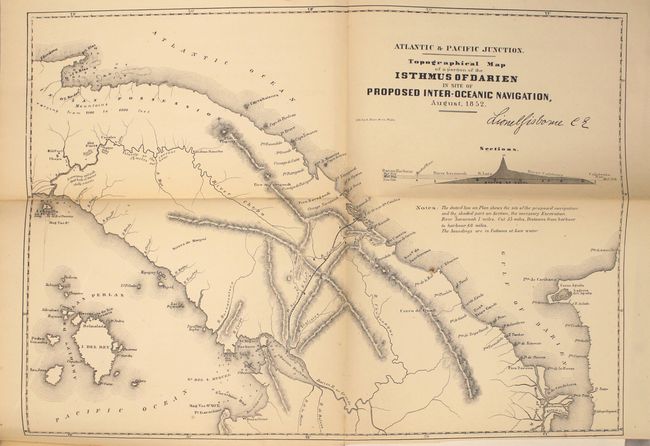
"[Maps and Views] Message from the President of the United States to the Two Houses of Congress…Part III", U.S. Government

Subject: Exploration and Surveys

Period: 1854 (published)

Publication: Sen. Ex Doc No. 1, 33rd Cong, 2nd Sess.

Color: Black & White

Size:
9 x 12 inches
22.9 x 30.5 cm
Download High Resolution Image
(or just click on image to launch the Zoom viewer)

This is the complete volume of illustrations accompanying the reports submitted for the 2nd session of the 33rd Congress. The 45 illustrations include 8 state survey maps to accompany the Report of the Commissioner of the General Land Office, 4 plans to accompany the Report of the Commissioner of the Public Buildings, 1 plan to accompany the Report on the National Hospital for the Insane and 31 plans and charts of bays and harbors to accompany the Report of the Colonel of Topographical Engineers. Of particular interest are the large Topographical Map of a Portion of the Isthmus of Darien, in site of Proposed Inter-Oceanic Navigation , Map of Public Surveys in California, and Plat Exhibiting the State of Surveys in Florida. See images for the full listing of maps. Hardbound in original embossed cloth boards with gilt titles on front cover and spine.

References:

Condition: B

Maps are generally good with light toning, scattered foxing, and several faint damp stains present in the first eight maps (state surveys). Several of the maps have short binding tears, with the map of California having a 5” binding tear at left. The map of the Clinton River, Michigan has a small 0.5” chip at lower left. Covers are lightly rubbed with stains.

Estimate: $240 - $300

Sold for: $190

Closed on 2/17/2016

Archived