Catalog Archive
Auction 156, Lot 784

"[Australia on sheet with] Settled Part of New South Wales", Wilkes, Charles
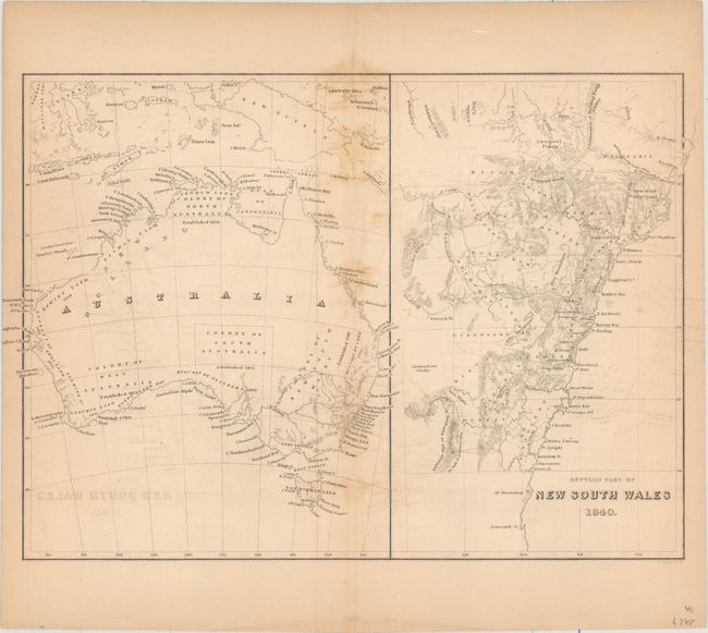
Subject: Australia

Period: 1840 (dated)

Publication: United States Exploring Expedition

Color: Black & White

Size:
11.5 x 8.3 inches
29.2 x 21.1 cm
Download High Resolution Image
(or just click on image to launch the Zoom viewer)

This map illustrates the entirety of Australia on the left side with an enlarged rendering of New South Wales to the right. The map of Australia breaks up the country into its different colonies along with their respective dates of establishment. The map extends to include islands north of Australia from Celebes (now Sulawesi) to North Britain. The map of New South Wales shows the most important cities, towns, capes, ports, rivers, mountains, and plains along the coast. Engraved by E. Tappan.

References: Tooley (Australia) #1355.

Condition: B

Light overall toning and offsetting with some foxing along the centerfold.

Estimate: $100 - $140

Unsold

Closed on 2/17/2016

Archived