Catalog Archive
Auction 156, Lot 782

"Le Nuove Ebridi e la Nuova Caledonia Delineate Sulle Osservazioni del Cap. Cook", Cassini, Giovanni Maria

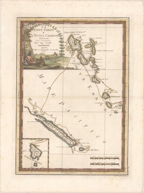
Subject: New Hebrides & New Caledonia

Period: 1798 (dated)

Publication: Nuovo Atlante Geografico Universale...

Color: Hand Color

Size:
13.6 x 18.9 inches
34.5 x 48 cm
Download High Resolution Image
(or just click on image to launch the Zoom viewer)

This map of the New Hebrides and New Caledonia depicts the route of Captain Cook from July through September, 1774, during his second voyage. The inset at bottom left depicts the Australian Norfolk Island, which is south of New Caledonia. The map is embellished with a large title cartouche featuring natives hunting and an odd-looking monkey.

References:

Condition: B

Full original color on watermarked paper with light foxing and a few tears along the border that have been archivally repaired on verso.

Estimate: $300 - $375

Unsold

Closed on 2/17/2016

Archived