Catalog Archive
Auction 156, Lot 75

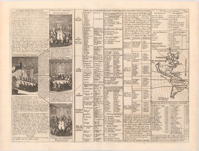
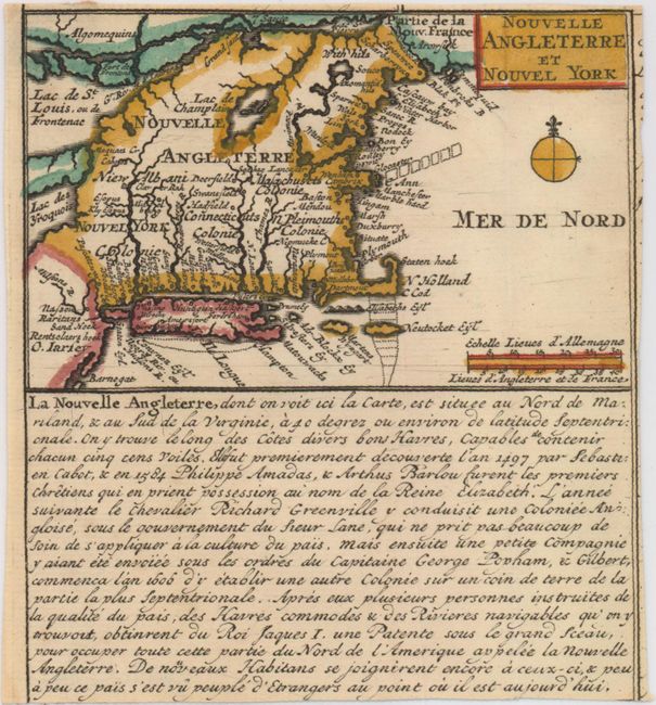
"[Lot of 2] Carte du Gouvernement de l'Amerique [and] Nouvelle Angleterre et Nouvel York", Chatelain, Henry Abraham

Subject: Western Hemisphere - America

Period: 1720 (circa)

Publication: Atlas Historique

Color:

Size:
See Description
Download High Resolution Image
(or just click on image to launch the Zoom viewer)

A. Carte du Gouvernement de l'Amerique, black & white (17.4 x 13.1"). A folio sheet filled with fascinating French text, statistics and four engravings showing the Council of the Indies dividing up Spanish Empire in America. The map itself (3.7 x 5.2") shows an unnamed island of California on the Sanson model. The only political detail is the division of the regions between the colonial powers. Far to the south, a purely speculative Antarctic continent is suggested as Terre Inconnue. Condition: A dark impression with one short edge tear confined to the bottom blank margin closed on verso with archival tape.

B. Nouvelle Angleterre et Nouvel York, hand color (4.8 x 2.9"). This small map was trimmed from a larger folio sheet and depicts colonial possessions from New Jersey north to the St. Lawrence River. Condition: Remnants of paper tape on verso at top.

References: McLaughlin #164.

Condition: A

See description above.

Estimate: $160 - $200

Sold for: $80

Closed on 2/17/2016

Archived