Catalog Archive
Auction 156, Lot 749

"Karte der Sinai-Halbinsel und des Petraeischen Arabiens", Kiepert, Heinrich C.

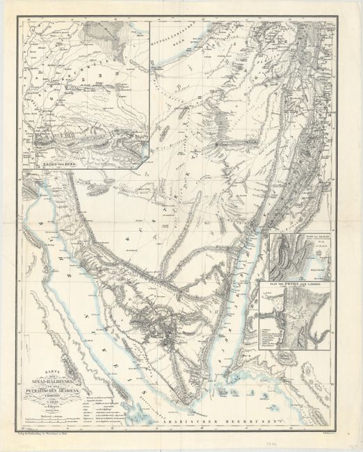
Subject: Sinai Peninsula, Egypt

Period: 1840 (dated)

Publication:

Color: Hand Color

Size:
16.8 x 21.6 inches
42.7 x 54.9 cm
Download High Resolution Image
(or just click on image to launch the Zoom viewer)

This well engraved German map covers the Sinai Peninsula of Egypt from Ras Mohammed and Dahab in the south to Gaza in the north. It shows topography in very fine detail along with place names primarily along the coast. Numerous roads and routes are identified in the interior. Includes a large inset of Cairo and its surroundings and the small insets Plan von Petra Nach Laborde and Pass von 'Akbah. Engraved by H. Mahlmann.

References:

Condition: B+

A clean sheet, issued folding and now flattened. There are short fold separations at left and right and an associated 1.5" tear adjacent to the fold which have all been repaired on verso with archival material.

Estimate: $230 - $275

Sold for: $170

Closed on 2/17/2016

Archived