Catalog Archive
Auction 156, Lot 627

"Patriarchatus Hierosolymitani Geographica Descriptio...", Sanson/Covens & Mortier
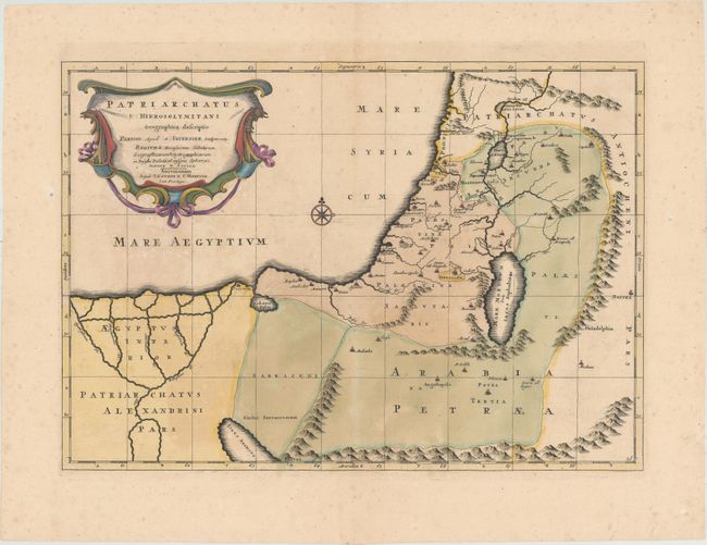
Subject: Holy Land

Period: 1730 (circa)

Publication: Atlas Novus...

Color: Hand Color

Size:
19.4 x 13.7 inches
49.3 x 34.8 cm
Download High Resolution Image
(or just click on image to launch the Zoom viewer)

This is a handsome map covering the region from the Nile Delta to Lebanon. It shows the extent of the Patriarchate of Jerusalem in Roman times, divided into Palestina Prima, Palestina Secunda, and Palestina Salvtaris. An elegantly designed title cartouche fills the Mediterranean Sea. Based on a map of the same title by Melchior Tavernier, first published in 1640.

References: cf. Laor #696.

Condition: B+

Original color in the map with later coloring in the cartouche, on paper with an "H" watermark. There is light color offsetting and some soiling.

Estimate: $275 - $350

Sold for: $175

Closed on 2/17/2016

Archived