Catalog Archive
Auction 156, Lot 571

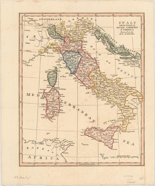
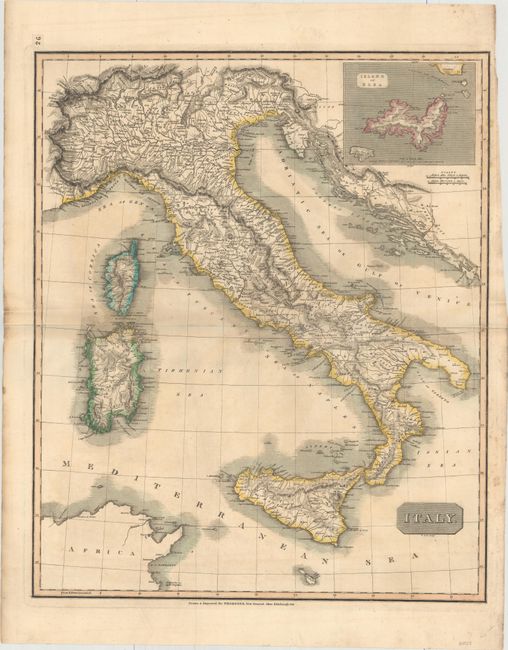
"[Lot of 2] Italy with the Islands of Sicily, Sardinia & Corsica Drawn from the Best Authorities [and] Italy",

Subject: Italy

Period: 1770-1814 (circa)

Publication:

Color: Hand Color

Size:
See Description
Download High Resolution Image
(or just click on image to launch the Zoom viewer)

A. Italy with the Islands of Sicily, Sardinia & Corsica Drawn from the Best Authorities, by John Lodge, circa 1770 (8.6 x 10.4"). When this map was published, Italy was under the domination of the Habsburg Monarchy and much of Northern Italy was embroiled in the Italian campaigns of the French Revolutionary Wars. The Estates of the Church cover most of the modern regions of Romagna, Marche, Umbria and Lazio. Corsica belongs to France and Sardinia is linked with Piedmont and Savoy. Condition: Attractive color with light offsetting.

B. Italy, by John Thomson, from Thomson's New General Atlas, dated 1814 (19.2 x 22.9"). This large map of Italy focuses on the topography and watershed, extending to include Corsica, Sardinia, and part of the Dalmatian coastline. A small inset shows the island of Elba, off the coast of Tuscany. Engraved by R. Scott. Condition: Original color with light toning and soiling.

References:

Condition: B+

See description above.

Estimate: $180 - $220

Sold for: $110

Closed on 2/17/2016

Archived