Catalog Archive
Auction 156, Lot 498
"Legionis, Biscaiae et Guipiscoae Typus", Mercator/Hondius
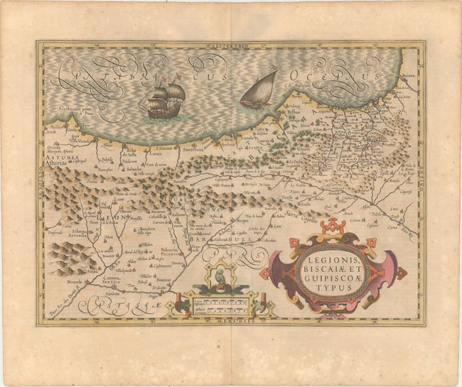
Subject: Northern Spain
Period: 1619 (published)
Publication: Gerardi Mercatoris - Atlas sive Cosmographicae
Color: Hand Color
Size:
18.8 x 13.7 inches
47.8 x 34.8 cm
Download High Resolution Image
(or just click on image to launch the Zoom viewer)
(or just click on image to launch the Zoom viewer)