Catalog Archive
Auction 156, Lot 479
"Champagne Latine Campania, Comitatus", Blaeu, (Family)
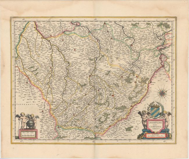
Subject: Northern France
Period: 1640 (circa)
Publication: Theatrum Orbis Terrarum
Color: Hand Color
Size:
19.6 x 15.1 inches
49.8 x 38.4 cm
Download High Resolution Image
(or just click on image to launch the Zoom viewer)
(or just click on image to launch the Zoom viewer)