Catalog Archive
Auction 156, Lot 359

"Archipelagi Americani Delineatio Geographica", Scherer, Heinrich
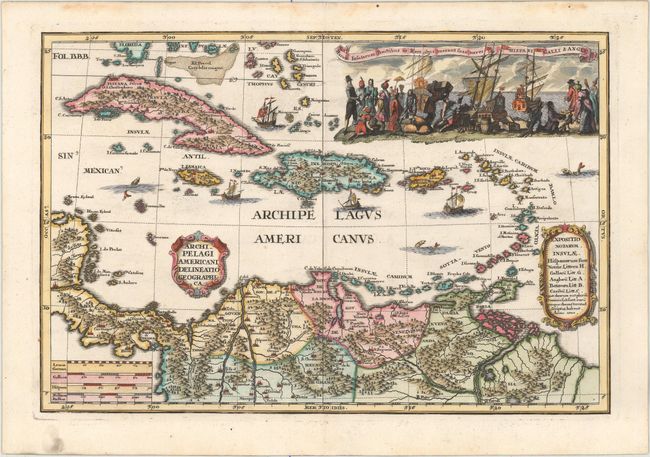
Subject: Caribbean

Period: 1700 (dated)

Publication: Atlas Novus

Color: Hand Color

Size:
13.4 x 9 inches
34 x 22.9 cm
Download High Resolution Image
(or just click on image to launch the Zoom viewer)

This stunning map is focused on the West Indies, with a portion of Central America and the northern tip of South America. The map features an elaborate view topped with a Latin title that translates roughly to These islands produce fruit and commodities that are transported by ship to Spain, France and England. The scene depicts traders and merchantmen loading their ships. Heinrich Scherer was a devout Jesuit and many of the maps and plates in his atlas emphasize the Catholic hierarchy and the spread of Jesuit missions throughout the world.

References: Shirley (BL Atlases) T.SHER-1a #115.

Condition: A

Superb impression and color with a hint of offsetting and marginal soiling.

Estimate: $500 - $600

Sold for: $350

Closed on 2/17/2016

Archived