Catalog Archive
Auction 156, Lot 350

"Caledonia Harbour and Port Escoces", British Admiralty
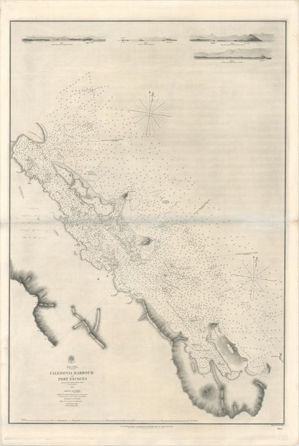
Subject: Panama

Period: 1856 (dated)

Publication:

Color: Black & White

Size:
25.1 x 36.4 inches
63.8 x 92.5 cm
Download High Resolution Image
(or just click on image to launch the Zoom viewer)

This oversized hydrographical chart depicts the coastline between Sasardi Point and Port Escoces on the northeastern coast of Panama along the Gulf of Darien. The chart is filled with soundings, rocks, shoals, reefs, and safe anchorages. The topography along the coastline is depicted via hachures, with a notation inland that the land is "about 50 feet in elevation" with the "tops of trees 120 to 150 feet." Surveyed by J. Parsons, Master, HMS Scorpion, and published by the Hydrographic Office of the British Admiralty.

References:

Condition: B+

A dark impression on heavy paper with "Monckton Kent" watermark. There is some printer's ink residue, light soiling, and a 1" fold separation at center that has been archivally repaired. There is a bluish shadow along the centerfold in the image that is caused by our scanner, and does not appear on the map itself.

Estimate: $350 - $425

Sold for: $250

Closed on 2/17/2016

Archived