Catalog Archive
Auction 156, Lot 302
"A Map of Part of Rhode Island, Shewing the Position of the American & British Armies at the Siege of Newport, & the Subsequent Action on the 29th of August 1778", Phillips, Richard (Sir)
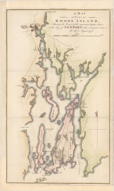
Subject: Rhode Island
Period: 1806 (dated)
Publication: Marshall's Life of Washington
Color: Hand Color
Size:
10.1 x 16.9 inches
25.7 x 42.9 cm
Download High Resolution Image
(or just click on image to launch the Zoom viewer)
(or just click on image to launch the Zoom viewer)