Catalog Archive
Auction 156, Lot 286

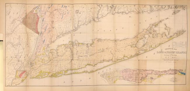
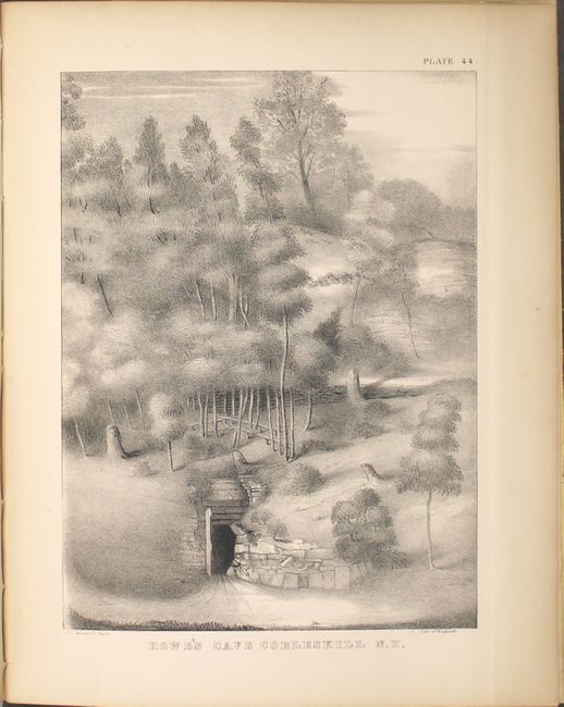
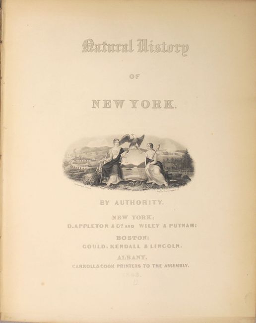
"Natural History of New York. Geology of New York. Part I", Mather, W. W.

Subject: New York

Period: 1843 (published)

Publication:

Color: Hand Color

Size:
9.5 x 12 inches
24.1 x 30.5 cm
Download High Resolution Image
(or just click on image to launch the Zoom viewer)

This large and informative book is the report of the survey for the First Geological District and contains 46 beautiful lithographic plates (39 hand colored) at the back of the report with 653 pp. of text and an appendix describing the plates. The 1st Geological District comprises twenty-one counties in southeastern New York, and extends from the north end of Washington county between Lakes Champlain and George, southwesterly to the Susquehanna River; so as to include the counties of Washington, Saratoga, Schenectady, Schoharie, Delaware, and all east and south of this line. The geology and economic deposits of counties encompassed by this area are all described in the report. The report devotes considerable space to a discussion of stratigraphy and glacial drift. Although Mather did not accept Agassiz's ice sheet glacial theory (he adopted an iceberg interpretation), his data on erratic boulders and other glacial features was so complete that later geologists were able use this information to reconstruct the backbone of Long Island as the terminal moraine of a great continental ice sheet. The report contains classic views of New York features (Saratoga Springs and Howe's Cave), many early drawings of fossils, and numerous plates showing geological and topographical features, cross-sections, profiles, and maps, most in color. The volume is complete with all plates and the large folding geological map is present. Quarto, hardbound in original brown cloth with fossil graphic on front cover.

Bound into the book is Mather's large folding Geological Map of Long & Staten Islands... (50 x 22.5") that was based on the surveys of J. Calvin Smith. This colorful geological map depicts 8 different geologic types and covers Long Island, Staten Island and the greater environs of the New York City area. At lower-right is an inset of New York Island or Manhattan. Editions of this book with the map still attached are quite scarce.

References:

Condition: B+

The map is very good with light toning and faint offsetting. The toning is more pronounced where the map folds into the report. The other plates and text are clean and bright and in near fine condition (A) with occasional minor toning or an occasional spot of foxing. The title page has nearly separated from the text block. Binding is somewhat loose with the front hinge starting and the covers show light shelf wear. Old library pastedown marked "discarded" on inside front cover.

Estimate: $750 - $1,000

Sold for: $750

Closed on 2/17/2016

Archived