Catalog Archive
Auction 156, Lot 219

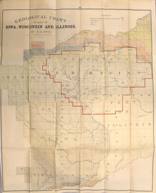
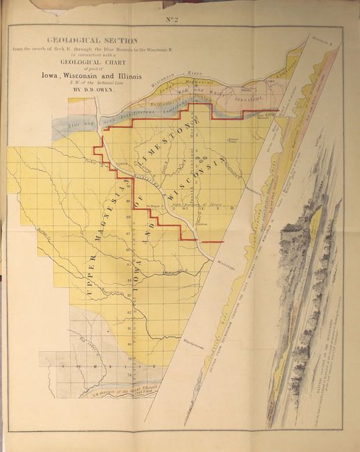
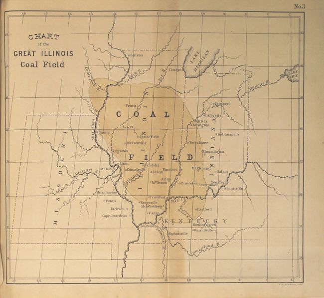
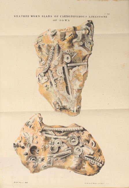
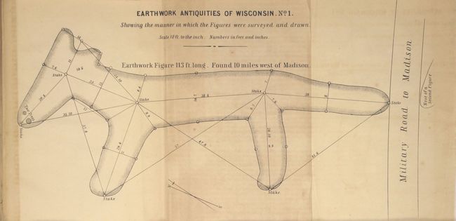
"[4 Maps Bound in] Report of a Geological Exploration of Part of Iowa, Wisconsin, and Illinois...", U.S. Government

Subject: Central United States

Period: 1844 (published)

Publication: 26th Congress, 1st Session, Doc. No. 239

Color: Hand Color

Size:
6.5 x 9.3 inches
16.5 x 23.6 cm
Download High Resolution Image
(or just click on image to launch the Zoom viewer)

This interesting report by David Dale Owen investigates the mineral lands along the Mississippi River in eastern Iowa and western Wisconsin. Contained within the text are four maps including the "Geological Chart of Part of Iowa, Wisconsin and Illinois" (22 x 26.5") which depicts the lead producing region and locates numerous mines; "Chart of the Great Illinois Coal Field" (8.5 x 7.7"); "Geological Section from the Mouth or Rock R. through the Blue Mounds to the Wisconsin R." (10.5 x 12.8") which combines a map, profile and section on a single sheet; and an uncolored magnetic variation chart (11.3 x 11.3"). Numerous other illustrative plates include geological sections, fossil plates and several related to the "Antiquities of Wisconsin." 161 pp. Rebound in red quarter faux leather with tips over black cloth-covered boards and raised bands on spine.

References: Marcou & Marcou #448-450.

Condition: B+

The large map has a little toning near the title, faint offsetting, and a few spots of foxing. The other maps and plates have occasional toning mostly in the blank margins. Text has occasional foxing.

Estimate: $200 - $230

Sold for: $150

Closed on 2/17/2016

Archived