Catalog Archive
Auction 156, Lot 156
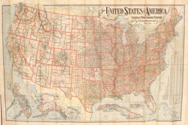
"The United States of America Including All Its Newly Acquired Territory", National Publishing Co.

1 of 2
Subject: United States
Period: 1902 (dated)
Publication:
Color: Printed Color
Size:
56.3 x 37.3 inches
143 x 94.7 cm
Download High Resolution Image
(or just click on image to launch the Zoom viewer)
(or just click on image to launch the Zoom viewer)