Catalog Archive
Auction 156, Lot 110
"A New & Accurate Map of the Islands of Newfoundland, Cape Briton, St. John and Anticosta; Together with the Neighbouring Countries of Nova Scotia, Canada &c...", Bowen, Emanuel
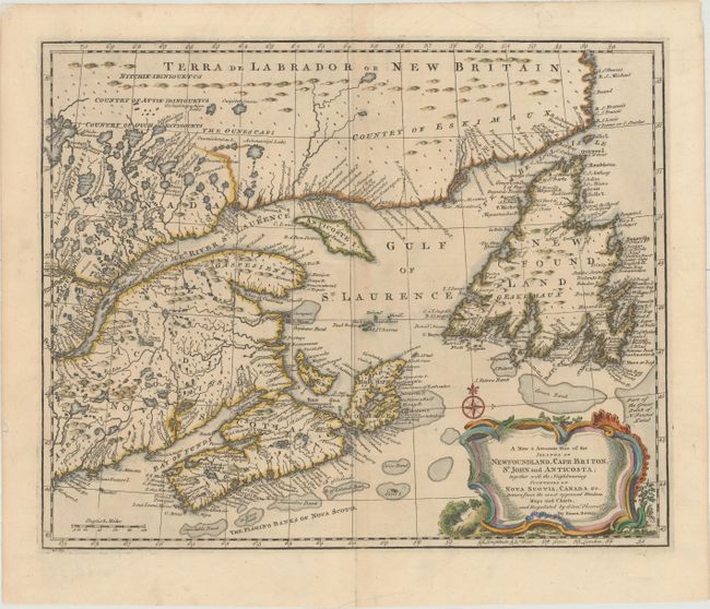
Subject: Eastern Canada
Period: 1752 (published)
Publication: A Complete Atlas, or Distinct View of the Known World
Color: Hand Color
Size:
16.7 x 13.6 inches
42.4 x 34.5 cm
Download High Resolution Image
(or just click on image to launch the Zoom viewer)
(or just click on image to launch the Zoom viewer)