Catalog Archive
Auction 155, Lot 686

"Le Pays des Hottentots aux Environs du Cap de Bonne Esperance", Bellin, Jacques Nicolas

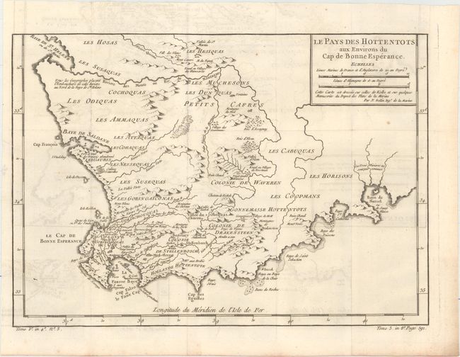
Subject: Southern Africa

Period: 1754 (circa)

Publication:

Color: Black & White

Size:
13.6 x 9.6 inches
34.5 x 24.4 cm
Download High Resolution Image
(or just click on image to launch the Zoom viewer)

A beautifully engraved copper-plate map of the Cape of Good Hope from Saint Helena Bay to Mossel Bay. Dutch settlements are mostly confined along the coast and southern regions. The inland regions are depicted as deserts, savannas, forests and mountain ranges with tribal names indicated and a few Boer colonies.

References:

Condition: B+

Issued folding on watermarked paper with light offsetting and a tiny binding tear at left that just touches the neatline and has been closed on verso with archival tape.

Estimate: $150 - $180

Sold for: $100

Closed on 11/18/2015

Archived