Catalog Archive
Auction 155, Lot 59

"Americae sive Indiae Occidentalis Tabula Generalis", Gerritsz/De Laet

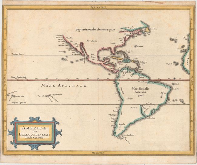
Subject: Western Hemisphere - America

Period: 1630 (circa)

Publication: Nieuwe Wereldt ofte Beschrijvinghe van West-Indien…

Color: Hand Color

Size:
14.1 x 11 inches
35.8 x 27.9 cm
Download High Resolution Image
(or just click on image to launch the Zoom viewer)

According to Burden this simple map is arguably the finest description of the Americas published in the seventeenth century. It was a collaborative effort between Hessel Gerritsz, the official cartographer to the Dutch East India Company and Johannes de Laet, the director of the newly formed Dutch West India Company. Together they had access to the latest geographical knowledge. Although Gerritsz had access to maps showing the insular form of California, he relies on more trustworthy accounts, such as Herrera, and depicts a peninsular form and thus the best west coast delineation to date. Rather than showing the controversial Northwest Passage, he truncates the map short of these latitudes. The map is decorated with a simple strapwork title cartouche. This map first appeared in the 1630 edition of de Laet's work, which was subsequently reissued in 1633 and 1640.

References: Burden #229; Shirley (BL Atlases) G.LAET-1b #1; Wagner #309.

Condition: B+

A nice impression on watermarked paper with light scattered foxing.

Estimate: $1,300 - $1,500

Unsold

Closed on 11/18/2015

Archived