Catalog Archive
Auction 155, Lot 421

"Les Isles Britanniques Comprenant l'Angleterre, l'Ecosse, et l'Irlande; pour les Premieres Etudes; Dirigee par Mr. Philippe...", Philippe De Pretot, Etienne Andre
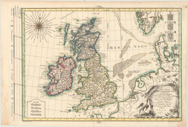
Subject: Britain

Period: 1767 (dated)

Publication: Atlas Universel

Color: Hand Color

Size:
14.6 x 10.3 inches
37.1 x 26.2 cm
Download High Resolution Image
(or just click on image to launch the Zoom viewer)

This handsome map of the British Isles extends to show parts of France, Belgium, the Netherlands, Denmark, Germany and Norway. There is good detail of political boundaries, towns, and rivers. The North Atlantic is filled with a lovely 32-point compass rose, and the coats of arms of England, Scotland and Ireland appear at top right. Adorned with a decorative cartouche featuring a large bird. Engraved by Jean Emmanuel Jerome Vallet.

References: Mickwitz & Miekkavaara #179-76.

Condition: A

A crisp example with marginal soiling.

Estimate: $275 - $350

Unsold

Closed on 11/18/2015

Archived