Catalog Archive
Auction 155, Lot 402

"Carte de l'Ocean Occidental Dressee pour Servir a l'Histoire Generale des Voyages…", Bellin, Jacques Nicolas

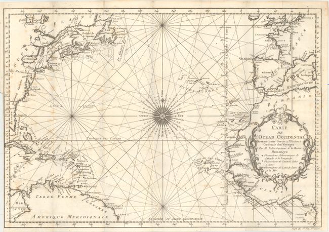
Subject: North Atlantic

Period: 1746 (dated)

Publication: Prevost's Histoire Generale des Voyages

Color: Black & White

Size:
18 x 12.8 inches
45.7 x 32.5 cm
Download High Resolution Image
(or just click on image to launch the Zoom viewer)

This is an attractive chart of the North Atlantic. It is centered on a stunning 32-point compass rose and delineated with rhumb lines. A good portion of each of the continents is shown with major port cities named. The coast of North America is labeled with the colonies Florida, Carolina, Virginie, Pensilvanie and Nouve. Angleterre, Ne. Ecosse, and Acadie. The important fishing banks of North America are prominently depicted. The Prime Meridian is shown through I. Ferro with an alternate Prime Meridian shown through Paris.

References:

Condition: B+

Issued folding on watermarked paper with light scattered foxing and faint offsetting. There is a binding trim at left and an associated tiny binding tear that has been closed on verso with archival tape.

Estimate: $220 - $250

Sold for: $80

Closed on 11/18/2015

Archived