Catalog Archive
Auction 155, Lot 355

"Carte de l'Isle de Cuba et des Isles Lucayes", Tardieu, Pierre Francois
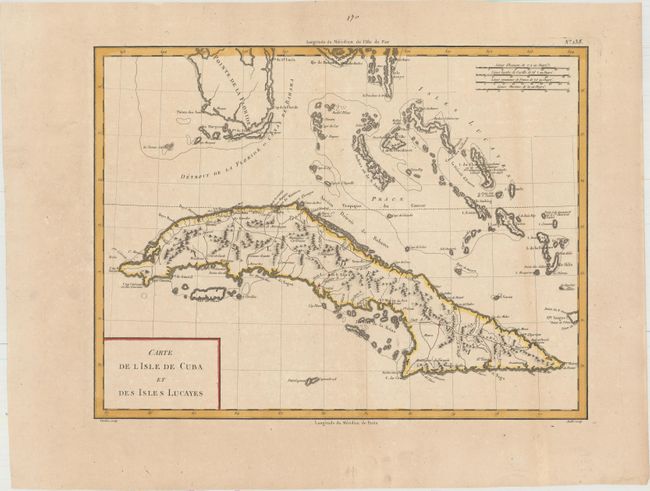
Subject: Cuba

Period: 1798 (circa)

Publication: Atlas Universel...

Color: Hand Color

Size:
16.9 x 12.8 inches
42.9 x 32.5 cm
Download High Resolution Image
(or just click on image to launch the Zoom viewer)

This map of Cuba extends to include the southern tip of Florida and the Bahamas. There is excellent detail of roads and cities throughout the island, as well as rivers and mountains. Christopher Columbus' initial landfall is noted on I. du Chat ou Guanahani (Cat Island), although nearby is I. de Wattelin (San Salvador Island), which is generally accepted today as Columbus' original landfall. The lettering was engraved by Andre. This map was published in Mentelle and Chanlaire's Atlas Universel de Geographie Physique et Politique, Ancienne et Moderne.

References: Cueto #56.

Condition: B+

Watermarked paper with wide margins, a hint of toning, and a tiny hole in an unengraved area of map at top center. There is a short tear in left blank margin that has been closed on verso with archival tape, far from map.

Estimate: $300 - $375

Sold for: $150

Closed on 11/18/2015

Archived