Catalog Archive
Auction 154, Lot 88

"British Columbia (New Caledonia) [on sheet with] Vancouver Island", Weller, Edward

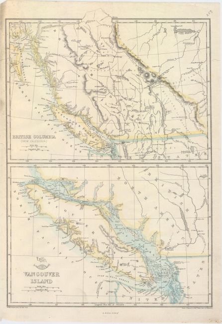
Subject: Western Canada

Period: 1860 (circa)

Publication: Weekly Dispatch Atlas

Color: Hand Color

Size:
11.9 x 17.3 inches
30.2 x 43.9 cm
Download High Resolution Image
(or just click on image to launch the Zoom viewer)

This sheet features two handsome maps on one sheet. At top is a map of British Columbia with excellent detail of the region's network of rivers and lakes. Numerous islands off the coast are named. The second map focuses on Vancouver Island, identifying several bays, harbors, inlets, and more that do not appear on the map above it. Drawn, engraved, and lithographed by Weller.

References:

Condition: A

There are two archivally repaired edge tears that just enter the map border and very minor soiling.

Estimate: $120 - $150

Sold for: $60

Closed on 9/16/2015

Archived