Catalog Archive
Auction 154, Lot 87

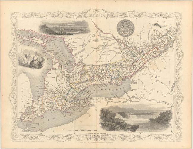
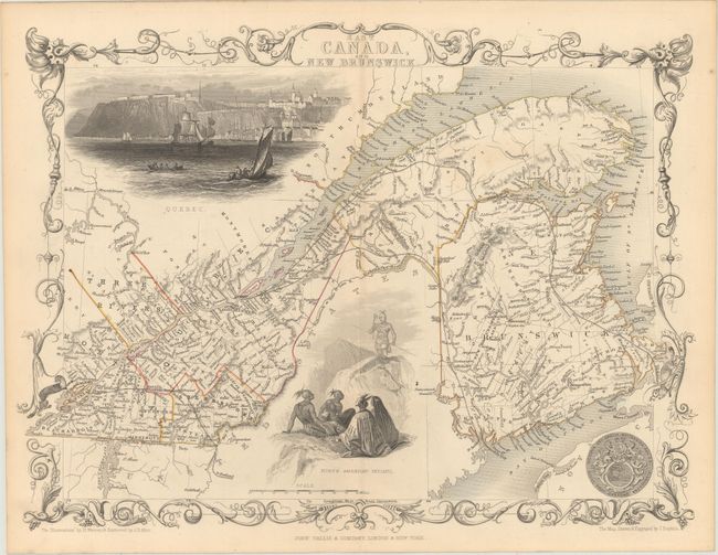
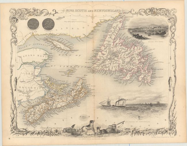
"[Lot of 3] West Canada [and] East Canada, and New Brunswick [and] Nova Scotia and Newfoundland", Tallis, John

Subject: Eastern Canada

Period: 1850 (circa)

Publication: Illustrated Atlas and Modern History of the World

Color: Hand Color

Size:
13 x 10 inches
33 x 25.4 cm
Download High Resolution Image
(or just click on image to launch the Zoom viewer)

The maps from The Illustrated Atlas were first published in serial form to a target audience that led insular lives due to the expense and hardship of travel. All that changed as the progress of the nineteenth century brought swift and dramatic changes in public awareness of far away places. Tallis' maps no doubt played an important role in this dramatic awakening. These maps not only provided up-to-date geographical knowledge, but also used vignette views within the map's design to show the native people and their occupations, cities and points of interest. The maps hark back to a cartographic tradition from the Dutch mapmakers of the seventeenth century with finely engraved decorative borders. The maps were drawn and engraved by John Rapkin with views drawn and engraved by a number of prominent artists. The maps were issued as a complete volume from 1851 until about 1865. Some of the maps were also published in other history books published by Tallis including British Colonies and, without the vignettes, in geographical dictionaries and encyclopedias until about 1880.

Matched set of decorative maps showing the eastern provinces of Canada, engraved and expertly rendered by John Rapkin.

A. West Canada covers the region of present-day Ontario and includes uncolored vignettes of Niagara Falls, Kingston, an Indian encampment, and river otters.

B. East Canada, and New Brunswick is a fine map of the St. Lawrence River and New Brunswick. There are two large vignettes: a group of North American Indians, and a lovely view of Quebec with numerous sailing ships and boats in the foreground.

C. Nova Scotia and Newfoundland is a lovely engraved map of the region including parts of New Brunswick and Labrador. The map includes vignettes of Halifax, steam and sailing ships in the Cod Fishery off Newfoundland, and the seals of both provinces. The decorative border features ice and fish caught on fishing lines.

References:

Condition: B+

Original outline color with faint toning along the centerfold and sheet edges.

Estimate: $300 - $375

Sold for: $150

Closed on 9/16/2015

Archived