Catalog Archive
Auction 154, Lot 770

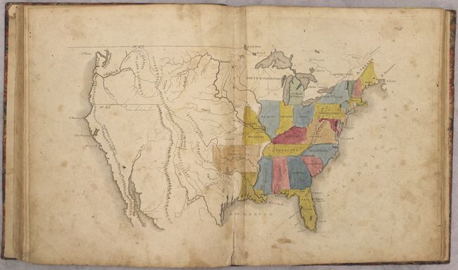
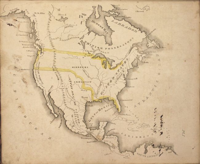
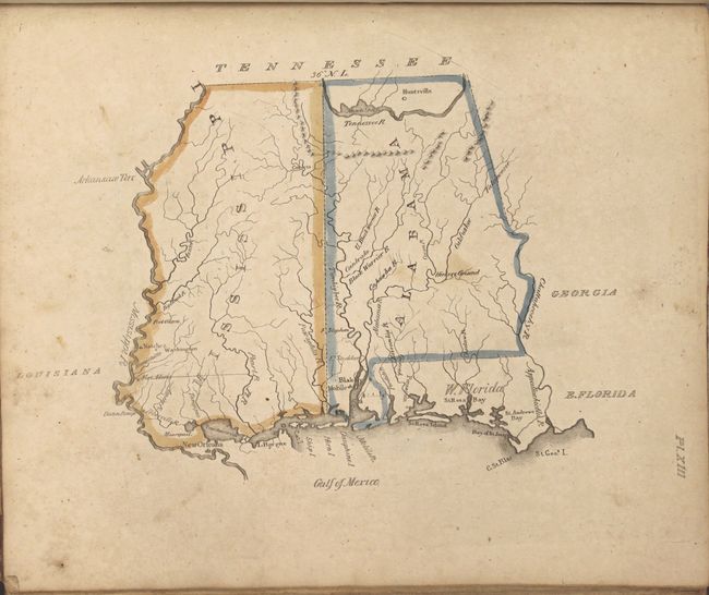
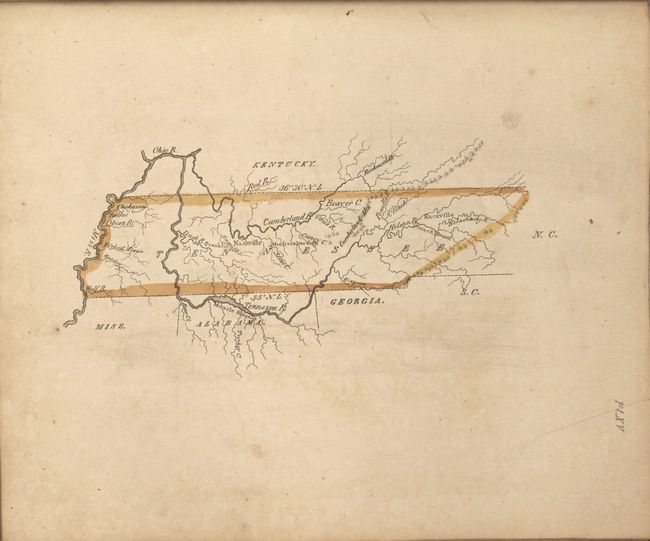
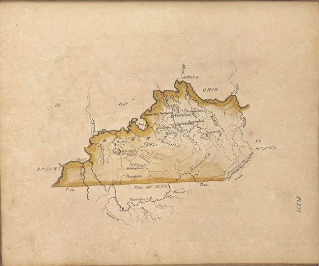
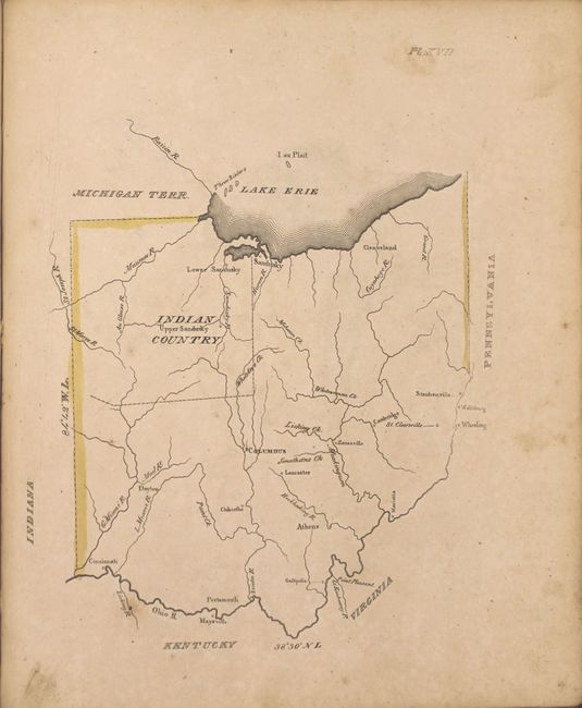
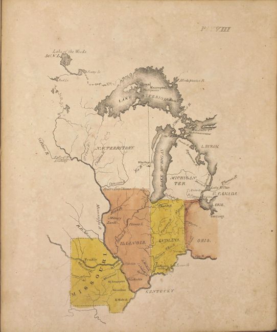
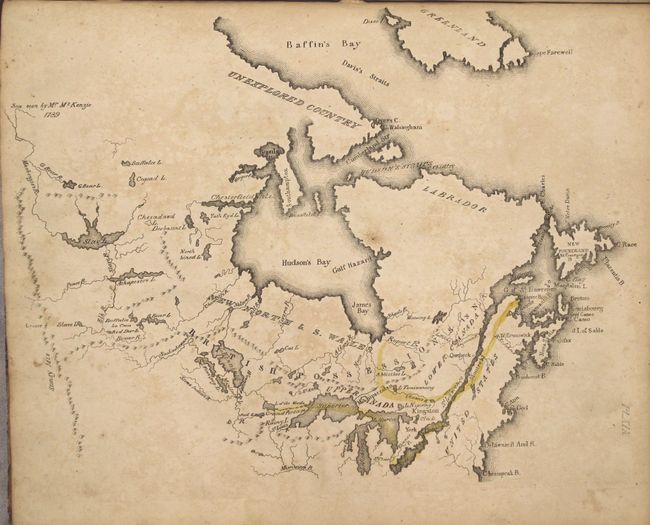
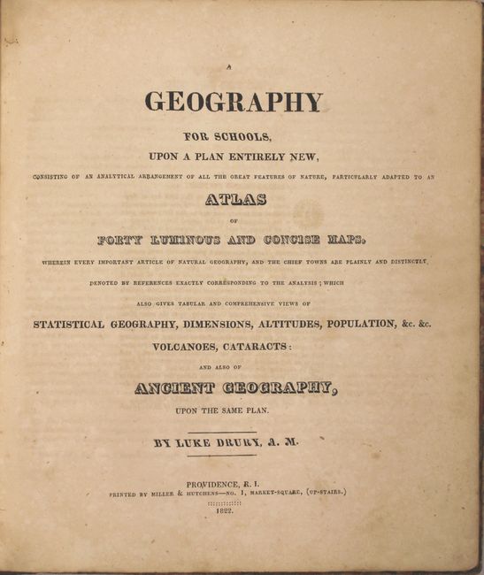
Scarce American Geography Book by Drury

"A Geography for Schools, upon a Plan Entirely New, Consisting of an Analytical Arrangement of All the Great Features of Nature, Particularly Adapted to an Atlas of Forty Luminous and Concise Maps...", Drury, Luke

Subject: Geography Books

Period: 1822 (published)

Publication:

Color: Hand Color

Size:
8.9 x 10.1 inches
22.6 x 25.7 cm
Download High Resolution Image
(or just click on image to launch the Zoom viewer)

This early American geography book contains 40 hand-colored maps, including maps of the Americas (23), Europe (10), Asia (3), Africa (1), Ancient World (2) and the World (1). The United States map and World map are both double-page. The map of the United States depicts a large Arkansas Territory including present-day Oklahoma, Northwest Territory occupies present-day Minnesota and Wisconsin, and Florida is still divided between East & West. Beyond the Missouri River only topography and the river systems are represented. Numerous single-page maps include the early frontier states of Kentucky, Tennessee, and Ohio. According to Tooley's Dictionary of Mapmakers, this was Drury's only publication. Published by Miller & Hutchens in Providence, Rhode Island. Hardbound in quarter-calf over marbled paper boards.

References: Phillips (Atlases) #279.

Condition: B

The maps are good to very good with light to moderate soiling and scattered foxing. The world map has a 4.5" fold separation at bottom and the map of Persia has several edge tears not impacting the image. Text is lightly toned with scattered foxing. Covers are moderately worn with faint damp stains on the front cover.

Estimate: $700 - $900

Sold for: $1,600

Closed on 9/16/2015

Archived