Catalog Archive
Auction 154, Lot 734

"Chart Containing the Greater Part of the South Sea to the South of the Line, with the Islands Dispersed Thro' the Same", Jefferys/Sayer

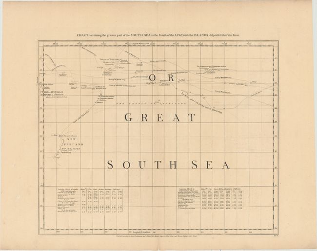
Subject: South Pacific Ocean

Period: 1768 (circa)

Publication: A Chart of North and South America Including the Atlantic and Pacific Oceans

Color: Black & White

Size:
20.8 x 16.9 inches
52.8 x 42.9 cm
Download High Resolution Image
(or just click on image to launch the Zoom viewer)

Thomas Jefferys was one of the most important English map publishers of the 18th century. His work included prints and maps of locations around the world, but his most notable maps are of North America and the West Indies. He began his career in the map trade in the early 1730s, working as an engraver for a variety of London publishers, and eventually setting up his own shop. In 1746, he was appointed Geographer to the Prince of Wales, and in 1760 he became Geographer to the King. These titles granted access to manuscripts and cartographic information held by the government. In the early 1760s he embarked on an ambitious project to produce a series of English county maps based on new surveys, but ran out of money and filed for bankruptcy in 1766. He then partnered with London publisher Robert Sayer, who reissued many of Jefferys plates and continued to issue new editions after Jefferys' death in 1771. Jefferys' American Atlas and the accompanying West-India Atlas, published post posthumously, are considered his most important cartographic works.

This is sheet V of a 6-sheet map of the Americas, including the Pacific and Atlantic Oceans. The maps in the set each have their own borders with a title above the map and publisher's imprint below, so that they could be sold individually as well as in a set. The 6-sheet map was created by Braddock Mead, who went by the alias John Green and worked for Jefferys. This map depicts the south Pacific Ocean, called the Great South Sea, and delineates the tracks of voyages, including Magellan, Mendana, Quiros, Schouten and Le Maire, and Tasman. Many islands are still undiscovered, and there are only partial outlines to the western coast of New Zealand (shown as one island) and the Solomon Islands. At bottom are tables indicating the latitudes of numerous locations as observed by the various explorers. This is the third issue of the map, prior to the addition of Cook's voyages and extensive alterations. All examples of this map are rarely found on the market.

References: Stevens & Tree (MCC-39) #4c; Sabin #28538.

Condition: B+

A nice impression on watermarked paper with wide margins, light soiling, and minor offsetting. There are short centerfold separations confined to the blank margins.

Estimate: $400 - $500

Sold for: $200

Closed on 9/16/2015

Archived