Catalog Archive
Auction 154, Lot 710

"Le Cours du Nil, Suivant les Auteurs Modernes et les Dernieres Relations", Fer, Nicolas de
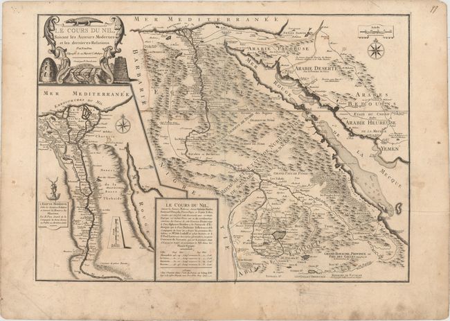
Subject: Egypt

Period: 1720 (dated)

Publication: Atlas ou Recueil de Cartes Geographiques

Color: Hand Color

Size:
25.6 x 18.4 inches
65 x 46.7 cm
Download High Resolution Image
(or just click on image to launch the Zoom viewer)

This is de Fer's detailed map of the Nile River based on "modern" sources. The map shows the Nile from its mouth in the Mediterranean Sea to its source in Lake Tana. Numerous small towns are identified throughout, as well as roads extending along the river and east through Arabia. The pyramids and the mountainous terrain are graphically depicted. A cartouche at bottom credits the cartography to the work of several Jesuits, including Afonso Mendes, Manuel de Almeida, and Jerome Lobe. At left is a large inset depicting the Nile River from its mouth to Aswan based on the mission of Father Claude Sicard, who visited Egypt between 1708-12.

References: Pastoureau, FER II C [93].

Condition: B

Original outline color on watermarked paper with wide margins. There is some soiling and professional repairs to several short separations along the centerfold and to three short cuts at bottom left.

Estimate: $350 - $425

Unsold

Closed on 9/16/2015

Archived