Catalog Archive
Auction 154, Lot 631

"Carte Marine de la Mer Caspiene Levee Suivant les Ordres de S.M. Czariene...", Delisle/Covens & Mortier

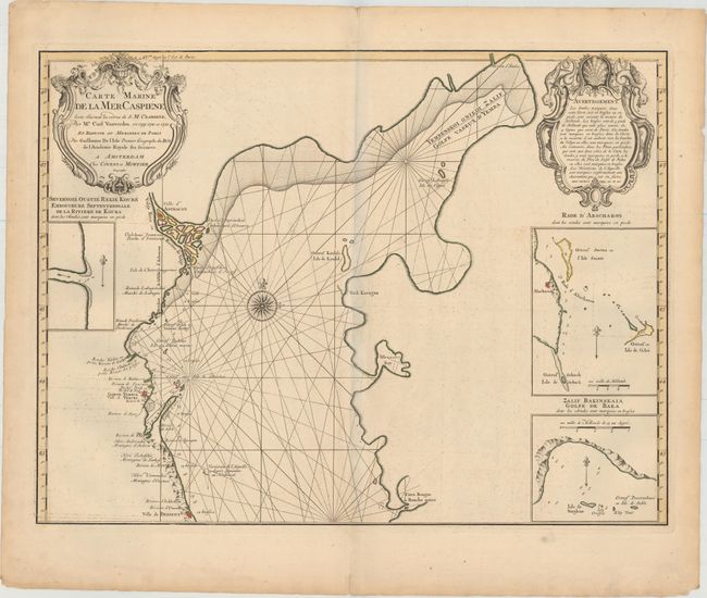
Subject: Caspian Sea

Period: 1730 (circa)

Publication:

Color: Hand Color

Size:
23.9 x 18.1 inches
60.7 x 46 cm
Download High Resolution Image
(or just click on image to launch the Zoom viewer)

This beautiful map is the northern sheet of Delisle's important mapping of the Caspian Sea from the surveys of Karl van Verden from 1719-21. Relief is shown pictorially and the sea is crossed with rhumb lines and centered on a large compass rose. Sheet includes three inset maps and is attractively embellished with a title and advertisement cartouches, one bedecked with dragons.

The Caspian Sea remained a mystery through much of cartographic history. It was originally thought to be a huge gulf in the northern ocean and was not recognized as a landlocked sea until the late medieval period. It was then presented in a variety of shapes and sizes, nearly always on an east-west axis. It was not accurately mapped until the early 18th century when the surveys of Karl van Verden were commissioned by Russia. In 1721, Peter the Great presented the French Academy a copy of the recently completed map by S.I. Soimonov and Karl van Verden. Delisle copied (in a reduced size) the original map with great care, translated the inscriptions into French, and printed it on two sheets for publication in the Academy's Bibliographie Générale des Travaux Historiques... and in his own atlases.

References:

Condition: B+

A nice impression on a sturdy sheet with original outline color, light offsetting, and a centerfold separation in the bottom blank margin. There is light soiling and toning in the blank margins. The faint shadow along the centerfold in the image is a result of the scanning process and is not present on the actual map.

Estimate: $350 - $450

Sold for: $180

Closed on 9/16/2015

Archived